Scope of local weather measurements
A farm weather station records conditions at its installation. Rainfall helps account for incoming water; temperature supports crop-development and frost observations; humidity and leaf-wetness records can support appropriate disease models. Wind informs field operations. The required quantities and local spatial variability determine whether an on-site station or a nearby weather network supplies suitable observations.
A local observation is not a forecast. A sheltered orchard, an exposed hill and a nearby airport may all report different conditions. Those differences can be useful when exposure is documented, but they complicate comparisons.
Instruments and their outputs
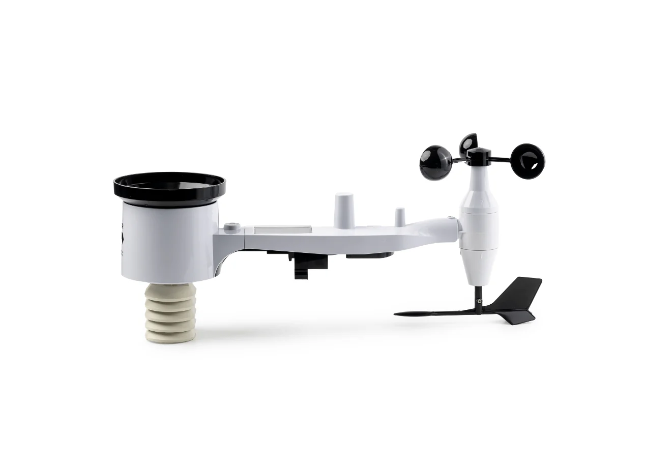
Common instruments include a shielded temperature sensor, a humidity sensor, a rain gauge and wind instruments. Tipping-bucket gauges count calibrated increments of collected rain. Moving-part wind sensors require inspection for wear and obstruction; ultrasonic instruments use acoustic measurements. Identify the actual instrument in the supplied configuration rather than assuming a station family has one universal sensor suite.
Check averaging intervals and units. Rainfall accumulation in mm is different from rainfall intensity in mm/h. Wind gusts and average wind speed are different statistics. An hourly export must identify its period and time zone so that rainfall and irrigation records align.
Instrument exposure
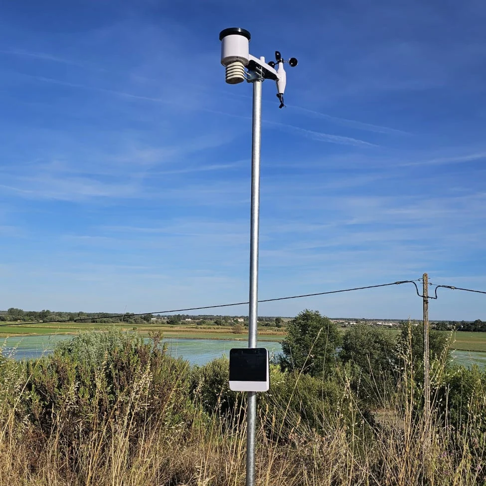
Radiation shields limit solar heating of air-temperature instruments. Keep the installation away from unintended heat sources and document nearby obstacles. Level rain gauges and inspect for blocked funnels. Choose wind exposure for the intended use, and record mounting height. A single compact assembly may require a compromise between the ideal exposure for different quantities.
For reference evapotranspiration, FAO's meteorological guidance uses defined exposure and wind-height conventions. For a frost-risk observation within a crop, a different position may be useful. Describe that purpose explicitly rather than treating both records as interchangeable.
Reference evapotranspiration
FAO Irrigation and Drainage Paper 56, published in 1998, standardises a reference evapotranspiration method using radiation, temperature, humidity and wind. Reference ET is an atmospheric-demand estimate for a defined reference surface. It is not a direct measurement of the water used by your crop. Crop coefficients and soil-water constraints are additional considerations.
Confirm whether the station measures solar radiation, estimates it or uses a remote source. Ask which ET method the platform applies and how it treats missing observations. A dashboard label alone cannot establish equivalence with a reference calculation.
Compare weather stations
SKY WS, Vantage Pro2 and ATMOS 41 take different routes to a usable weather record: a LoRa station linked to Pulse, a wireless suite with a console, and a wired instrument connected to a logger. Match the instrument list, installation and data path to the farm decision.
SKY WS LoRa station
Pycno SKY WS
A compact six-variable station that fits naturally into a Pulse-based farm network. Solar radiation is included in the listed instrument set alongside rainfall, wind, temperature and humidity.
Use the matching regional LoRa frequency and include the gateway in the package.
View product details ↗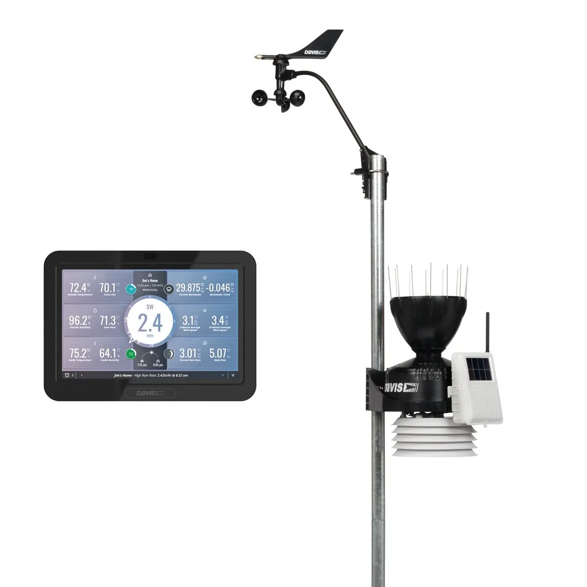
Wireless SKU 6252 with WeatherLink console
Davis Vantage Pro2
A configurable station for users who value a local console and a separate wind instrument. The cited package includes the WeatherLink console; solar and UV instruments are optional.
Solar and UV sensing depend on the selected package and additions.
View product details ↗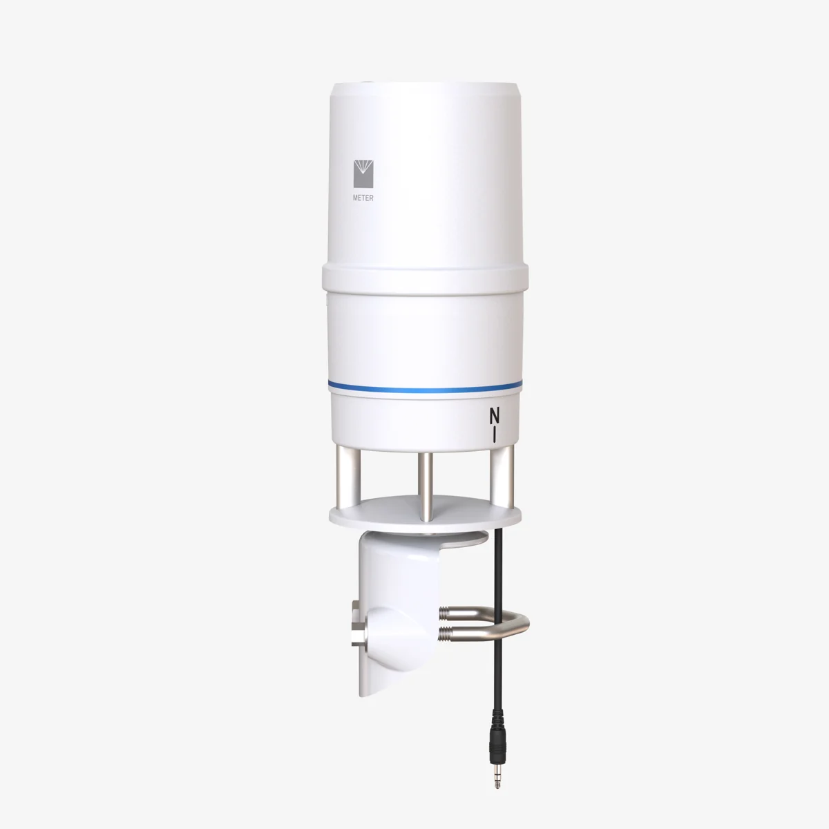
ATMOS 41 Gen 2
METER ATMOS 41
An all-in-one station for logger-based environmental monitoring. The current Gen 2 listing adds dual precipitation measurements, precipitation EC and an optional combined Modbus/SDI-12 interface.
Include a logger and telemetry; distinguish the Gen 2 configuration from earlier units.
View product details ↗| Model | Measurement / role | Data connection | Coverage / installation |
|---|---|---|---|
| Pycno SKY WS | Temperature, humidity, solar radiation, rainfall, wind speed and direction | Pulse LoRa Gateway required; not Terra Masters | Local weather at one station site |
| Davis Vantage Pro2 | Temperature, humidity, rain, wind and pressure; solar/UV optional | Wireless sensor suite to WeatherLink console | Local weather; wind instrument can be mounted separately |
| METER ATMOS 41 | Integrated weather measurements including radiation, rain and ultrasonic wind | SDI-12; combined Modbus/SDI-12 option; compatible logger | Local weather with additional atmospheric variables |
System configuration
SKY WS is a straightforward candidate when Pulse is already part of the farm network. Its listed sensor set includes solar radiation alongside rainfall, wind, temperature and humidity. Current LoRa variants require a Pulse LoRa Gateway and are not compatible with Terra Masters.
Vantage Pro2 suits a console-based installation with configurable additions; the cited package needs optional solar instruments if measured radiation is required. ATMOS 41 fits a logger-based network. Specify Gen 2 and the interface option rather than carrying over assumptions from an older station.
Maintenance and data continuity
Keep an installation photograph, sensor serial numbers and a maintenance log. Inspect the rain collector after debris events, check mounting stability and follow the manufacturer's calibration schedule. Record battery changes and sensor replacements. A missing hour must remain distinguishable from a measured zero-rainfall hour.
Evaluate total ownership cost: station, mast, installation, communications, software, maintenance visits and replacement instruments. Ask whether historical records remain accessible after a subscription ends and whether you can export timestamps, units and quality flags.
Terminology
- Radiation shield
- A ventilated enclosure that reduces solar heating of an air-temperature instrument.
- Reference ET
- Estimated water loss from a defined reference surface, commonly expressed in mm/day.
- Leaf wetness
- An instrument response indicating wet conditions at a sensing surface; placement and thresholds matter.
- Sampling interval
- The time between measurements, which may differ from reporting or averaging intervals.
Development of automatic weather stations
Manual weather observations established long-running records. Automatic stations combine electronic instruments, loggers and telemetry. Their advantage for a farm is a timely local record, provided exposure and maintenance remain consistent.
Will a weather station predict disease?
The instruments provide inputs. A disease model also needs a validated relationship for the crop and pathogen, suitable sensor placement and reliable records. Check the model's geographic and crop scope before using an alert to guide treatment.