Definition and scope
Precision agriculture uses spatially and temporally differentiated observations to manage agricultural production. It includes positioning, field mapping, environmental monitoring and control of operations within a field. Sensors supply evidence about conditions and machine behaviour; agronomic interpretation determines whether the observed variation warrants a different treatment.
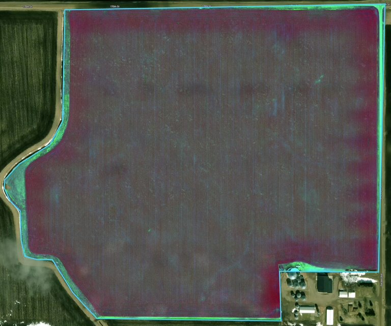
The relevant scale varies by application. A soil probe observes a small volume around its sensing elements, a canopy instrument measures its optical footprint, and satellite imagery aggregates reflected radiation across pixels. These observations can complement one another when their location, timing and measurement meaning remain explicit.
Measurement technologies
Soil instruments measure quantities such as volumetric water content, matric potential, temperature and electrical conductivity. Water content describes the volume of water relative to the measured soil volume; matric potential describes an energetic condition affecting water extraction. Their relationship depends on soil properties, so they should not be substituted without a retention relationship appropriate to the soil.
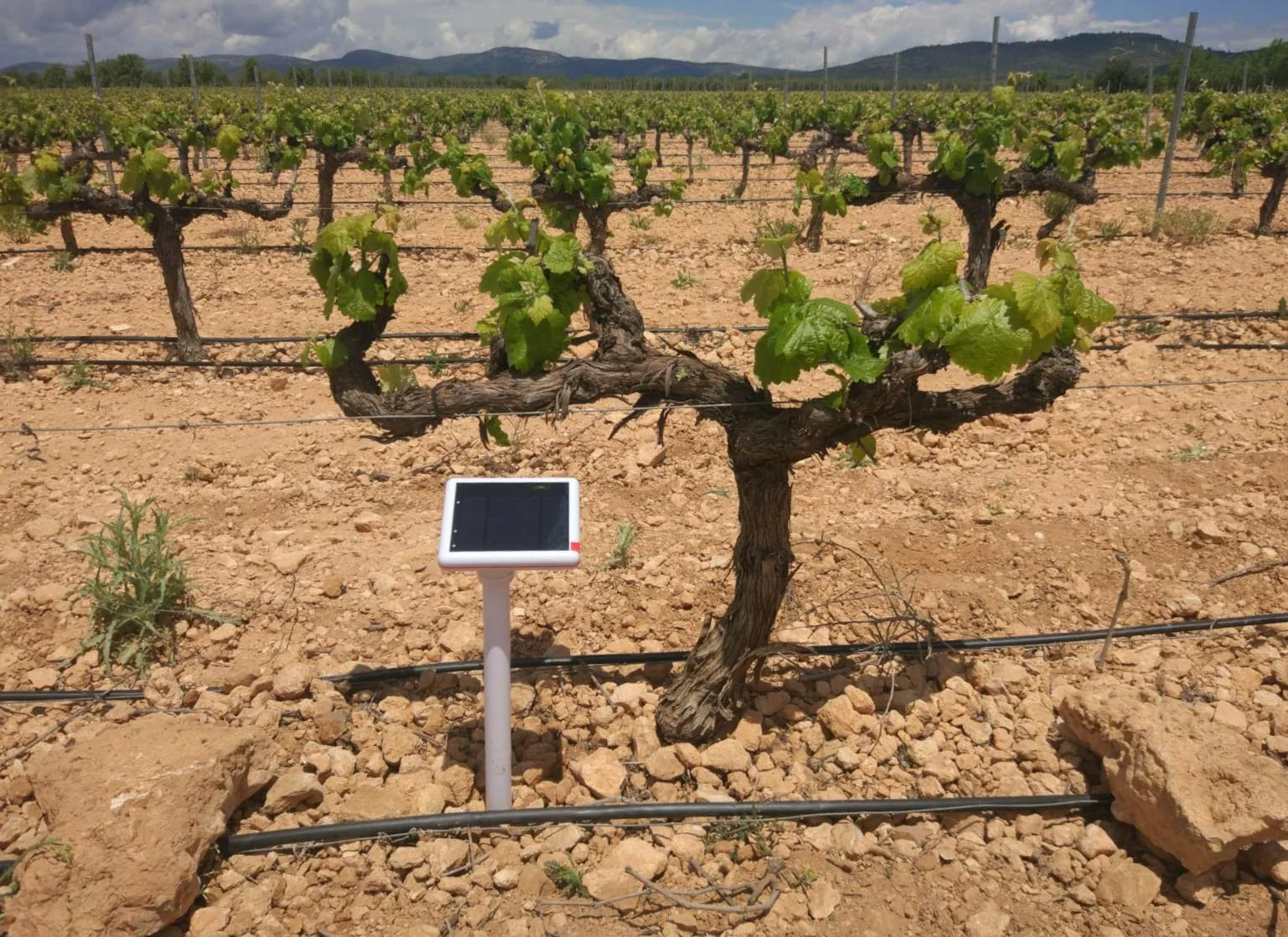
Pycno Terra provides a soil-monitoring system with Master and Node configurations. Masters provide cellular upload and compatible Nodes depend on shared Master infrastructure. This architecture is relevant where repeated soil observations are required across management zones. Sensor depth and placement should represent the rooting profile and irrigation pattern, rather than the convenience of radio reception alone.
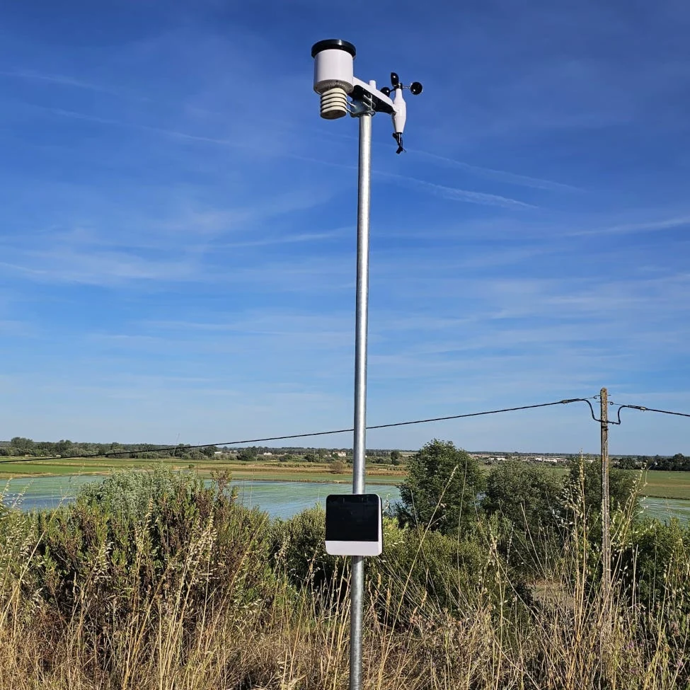
Weather stations measure local environmental conditions used in irrigation calculations, frost monitoring and crop disease assessment. A station's rainfall observation and a field's effective rainfall are different quantities. Canopy shelter, run-off and infiltration influence how much water reaches the root zone.
Optical canopy instruments measure radiation reflected at selected wavelengths. Vegetation indices describe spectral relationships; they do not uniquely identify nitrogen deficiency, disease or water stress. Crop stage, canopy structure, background soil and illumination influence interpretation. Reference areas and field observations help distinguish competing explanations.
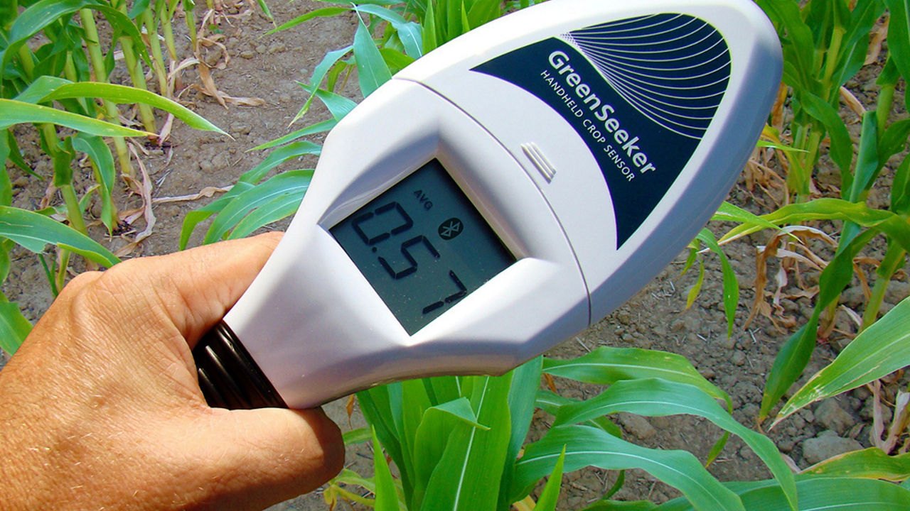
The PTx Trimble GreenSeeker handheld records an optical vegetation index for local sampling. Its small observation footprint suits repeated field checks and reference comparisons. Satellite imagery provides broader coverage, while drone imagery can resolve smaller features when flight conditions, calibration and image processing are controlled.
Positioning and machinery
GNSS links an observation or operation to a location. Guidance systems use position to control vehicle trajectories, while section control reduces application overlap and variable-rate systems alter a target rate. These functions require compatible machinery interfaces and an agronomic prescription or supported sensor-based algorithm.
ISOBUS, based on ISO 11783, supports communications between tractors, implements and farm software. Compatibility depends on the functionalities supported by the particular components. A shared connector or general ISOBUS designation does not establish that every guidance, task-control or implement-control function will operate across a combination.
Interpretation and management zones
A management zone is an area assigned a common treatment based on relevant characteristics. Its boundaries may follow soil texture, terrain, drainage, historical yield or an observed crop response. Persistent variation deserves different analysis from a short-lived equipment fault or a single cloud-affected image.
Combining datasets requires aligned boundaries, coordinate systems, observation times and units. Yield maps also require calibration and treatment of delays between crop entry and the recorded measurement. A dense dataset can contain systematic error; additional points do not automatically correct calibration or a poorly located sensor.
Pycno's software platform offers charts, field heatmaps, alerts and agronomic calculations for compatible monitoring records. Its integration of repeated soil and weather observations is useful for tracking changes between field visits. Machinery records and remotely sensed imagery require their own preparation before any cross-system comparison.
Assessment of a treatment
A field comparison should identify the treatment, reference area, crop stage and other changes affecting the result. Input quantities, yield, quality and operational cost may all be relevant outcomes. An apparent association between an index and yield does not establish that changing an input in response to that index will improve production.
Monitoring and control have different requirements. A seasonal map may support zone planning, while a frost alarm requires timely local observations. Automated application needs a defined response to invalid measurements and confirmation that the commanded action occurred.
Historical development
Satellite positioning, electronic yield monitoring and digital mapping enabled location-based records of field operations. The discontinuation of GPS Selective Availability in May 2000 improved access to civil positioning. Multispectral Earth observation extended spatial monitoring; ESA launched Sentinel-2A in June 2015. These developments broadened coverage while leaving calibration and field interpretation central to measurement quality.
Terminology
- Prescription map
- A spatial dataset assigning target treatments or rates to specified locations.
- Spatial resolution
- The scale at which a system distinguishes or represents spatial features.
- Ground reference
- An independently obtained field observation used to interpret or evaluate mapped information.
- Variable-rate application
- Application in which the target rate changes across locations or in response to a supported measurement.
Frequently asked questions
Is precision agriculture limited to large arable farms?
No. Location- and time-specific management also applies to orchards, protected crops and irrigation systems. The useful observation scale and control method depend on the production system.
Can a vegetation index replace soil measurements?
An index describes a canopy's spectral response. Soil instruments observe local root-zone conditions. Either can help explain crop variation, but they measure different aspects of the system.
Which records should accompany a map?
Acquisition time, spatial reference, instrument or imagery source, processing method, calibration information and quality flags allow later comparisons to be interpreted. The guide library covers the individual measurement technologies.
Sources & further reading
- University of Minnesota: soil moisture sensors
- Pycno Terra product documentation
- Pycno software platform
- PTx Trimble GreenSeeker handheld manufacturer documentation
- ESA - Sentinel-2
- Selective Availability | GPS.gov
- ISOBUS - AEF Online
- Nitrogen-rich strips for wheat, corn and other crops
- 6X Sensor - Sentera Sensors