Spatial sampling and root-zone coverage
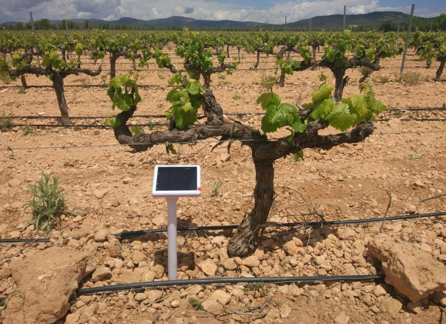
A soil sensor measures a limited volume around its electrodes or sensing elements. An installation therefore represents a defined position within the field, rather than the mean water status of an entire parcel. Soil texture, rooting depth, slope, irrigation uniformity and crop development determine how many locations and depths are required.
Management zones can be delineated from soil surveys, yield maps, terrain and irrigation layout. Within each zone, sensors should occupy representative positions with a documented relationship to the crop row and water emitter. Under drip irrigation, a position inside the wetted bulb can record a different drying cycle from a position near its boundary. Both may be useful, provided their purpose is explicit.
Soil contact and installation geometry
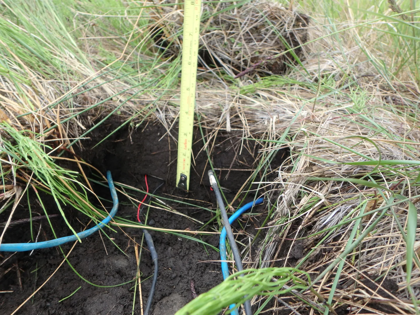
Dielectric probes require close contact between the sensing surface and the surrounding medium. Air gaps have a markedly different permittivity from moist soil and can produce readings that appear unusually dry. Installation should minimise compaction, smearing and preferential water movement along the probe or cable. The manufacturer's insertion procedure takes precedence over a generic installation method.
Multi-depth instruments require an appropriate hole diameter and depth. Point probes are commonly installed into an undisturbed face at the selected depth. Cable routes should accommodate cultivation, machinery and rodents, while connectors remain protected from standing water. Record the final depth, orientation, soil horizon and location before closing the excavation.
For profile monitoring, Terra's available 30, 60 and 90 cm lengths provide a coherent instrument configuration with moisture modules at 15 cm intervals. Soil Mini is more suited to distributed shallow measurement points where a wired acquisition system is already planned. Its selected UART, RS-485 or SDI-12 interface must match the receiving equipment.
Commissioning and calibration
Commissioning establishes that the complete measurement chain is operating: sensor identity, power, interface settings, timestamps, depth labels, upload and data storage. A plausible value is insufficient evidence of correct configuration. Record an initial baseline, then observe the response to rainfall or a controlled irrigation event.
Volumetric water content, expressed in m³/m³, is the volume of water divided by the bulk volume of soil. Gravimetric samples provide an independent comparison when dry mass, wet mass and bulk density are measured consistently. A factory calibration may be adequate for some mineral soils; organic media, unusual textures and saline conditions can require medium-specific calibration.
Water tension is a different measurement. Granular-matrix readings describe the energy needed to remove water from the soil, commonly expressed as positive tension in kPa. They cannot be substituted directly for water-content readings. Temperature compensation, sensor equilibration and the specified electrical reading method are relevant to interpretation.
Installation requirements by instrument
The following instruments illustrate integrated telemetry, local wired sensing and multi-depth logging. Their different measurement geometries require different installation procedures.
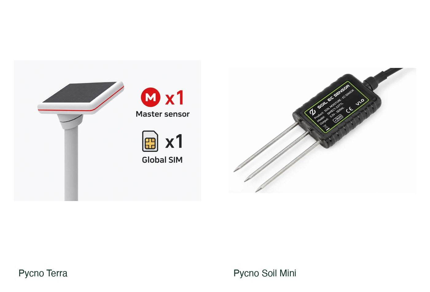
Terra Master; Node version also offered
Pycno Terra
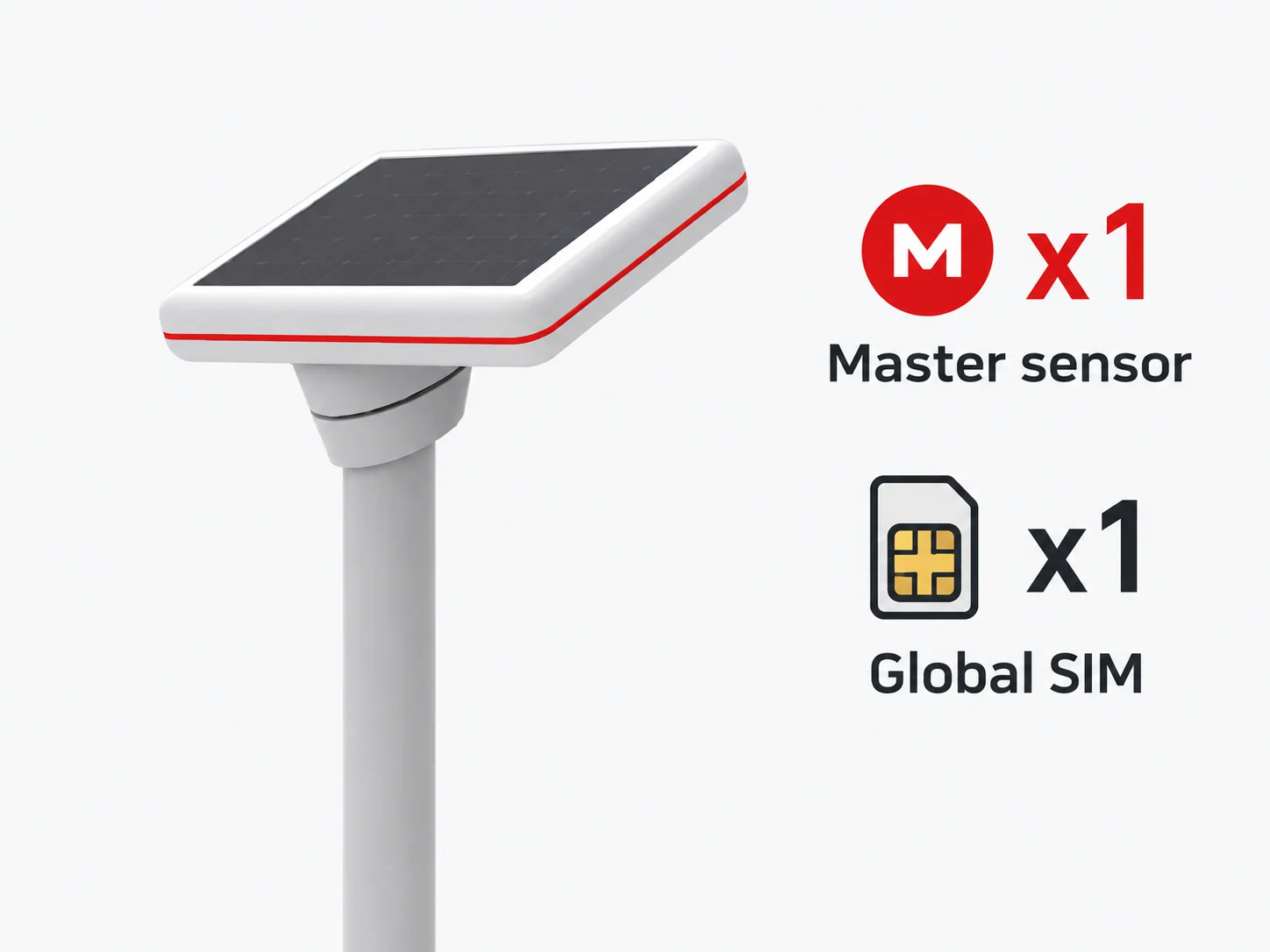
A strong starting point for growers who want an integrated soil-monitoring network. The Master handles cellular upload and can collect readings from compatible Nodes.
Choose Master/Node, depth, modem and local radio frequency before ordering.
View product details ↗Soil moisture and EC; selected wired interface
Pycno Soil Mini
A wired probe for installations requiring several shallow measurement points. The UART version uses a Pulse UART sliding module, while the RS-485 version uses its corresponding module.
Match the interface to the Pulse module; RS-485 and SDI-12 variants have different supply availability.
View product details ↗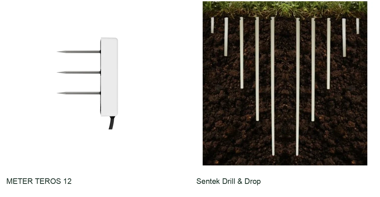
TEROS 12 wired probe
METER TEROS 12
A compact wired probe for growers and researchers who need water content, temperature and bulk electrical conductivity. It works with METER logging systems and compatible SDI-12 loggers.
Build multi-depth coverage with multiple probes; budget for logging and telemetry.
View product details ↗Multi-depth probe family; salinity optional
Sentek Drill & Drop
A profile probe for tracking conditions at several depths from one installation. The range is particularly relevant when deeper roots and water movement require more than a single-depth measurement.
Select the probe interface and data-transfer system together.
View product details ↗| Model | Measurement / role | Data connection | Coverage / installation |
|---|---|---|---|
| Pycno Terra | Soil moisture and soil temperature; ambient measurements also listed | Master uploads through cellular; Nodes use a Master | 30, 60 or 90 cm probe options; moisture modules at 15 cm intervals |
| Pycno Soil Mini | Soil moisture and electrical conductivity | 3.3 V UART, RS-485 or SDI-12 version | Local shallow measurement points |
| METER TEROS 12 | Volumetric water content, temperature and bulk EC | SDI-12; compatible logger required | One local measurement volume per installed probe |
| Sentek Drill & Drop | Soil moisture and temperature; salinity on equipped variants | SDI-12 or RS232/RS485 variants; matched telemetry required | 30–120 cm probes with sensing every 10 cm |
Interpreting the time series
A rapid increase after irrigation indicates wetting at the sensor position. Delayed increases at deeper levels indicate downward movement, while sustained changes below the active root zone may indicate drainage. A shallow response alone does not establish that the full root zone has been replenished.
For a uniformly represented 0.30 m soil layer, a decline from 0.30 to 0.25 m³/m³ corresponds to 15 mm of water storage: 0.05 × 0.30 × 1,000. Extending that calculation to the whole field assumes that the measurement is representative of the layer and management zone. Roots, drainage and evaporation contribute differently to the observed decline.
Site-specific upper and lower reference values should be derived from soil properties, observed drainage, crop response and agronomic objectives. A threshold copied from another soil or crop can be misleading. Retain irrigation records alongside the measurements so that unusual responses can be examined.
Maintenance and data continuity
Periodically inspect mounting, cables, connectors, power supply and vegetation around solar panels. After cultivation or flooding, compare the installation with its original record. Data gaps should retain their timestamps rather than being silently converted into measured values. Pycno's platform provides visual analysis, mapping, alerts and spreadsheet export; these functions support interpretation when depth labels and field records are maintained consistently.
Terminology
- Soil horizon
- A soil layer with characteristics that distinguish it from adjacent layers.
- Wetted bulb
- The region wetted around a local irrigation emitter, with geometry influenced by application and soil properties.
- Bulk density
- Dry soil mass per unit bulk volume, used with gravimetric water content to estimate volumetric content.
Development of soil monitoring
Electronic soil instruments extended manual sampling and tension measurements with repeated observations and automated records. Profile probes add measurements at several depths, while telemetry makes the time series available remotely. Installation geometry and calibration continue to determine the meaning of those records.
Frequently asked questions
Can a sensor be moved between fields?
Yes, where the instrument permits removal, but each new placement requires installation records and a new baseline. Previous thresholds may not transfer to a different soil.
Why does irrigation produce no immediate response?
The wetting front may not yet have reached the measurement volume. Emitter placement, irrigation duration, soil contact and the configured depth should be examined together.