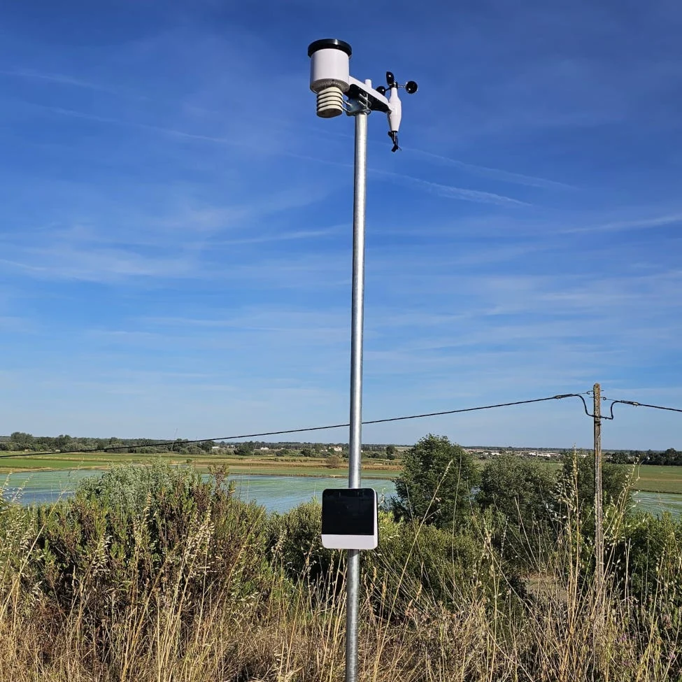
An agricultural weather station combines instruments, a data acquisition system and a route to recorded observations. Comparisons are most useful at the level of the installed package: the same sensor assembly can serve a local console, a research logger or a connected farm network.
Weather station configurations
The five systems below represent distinct architectures. SKY WS supplies six weather variables through a compatible Pulse gateway. Vantage Pro2 separates its wind instrument from the main sensor suite and provides a local console. ATMOS 41 and WXT536 are compact assemblies requiring suitable data acquisition equipment. Mark 3 combines weather and crop observations in a connected service.
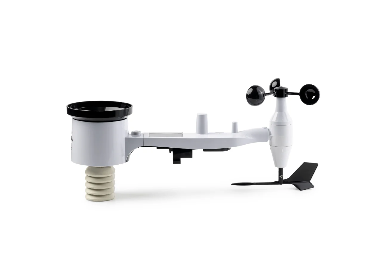
SKY WS LoRa station
Pycno SKY WS
A compact six-variable station that fits naturally into a Pulse-based farm network. Solar radiation is included in the listed instrument set alongside rainfall, wind, temperature and humidity.
Use the matching regional LoRa frequency and include the gateway in the package.
View product details ↗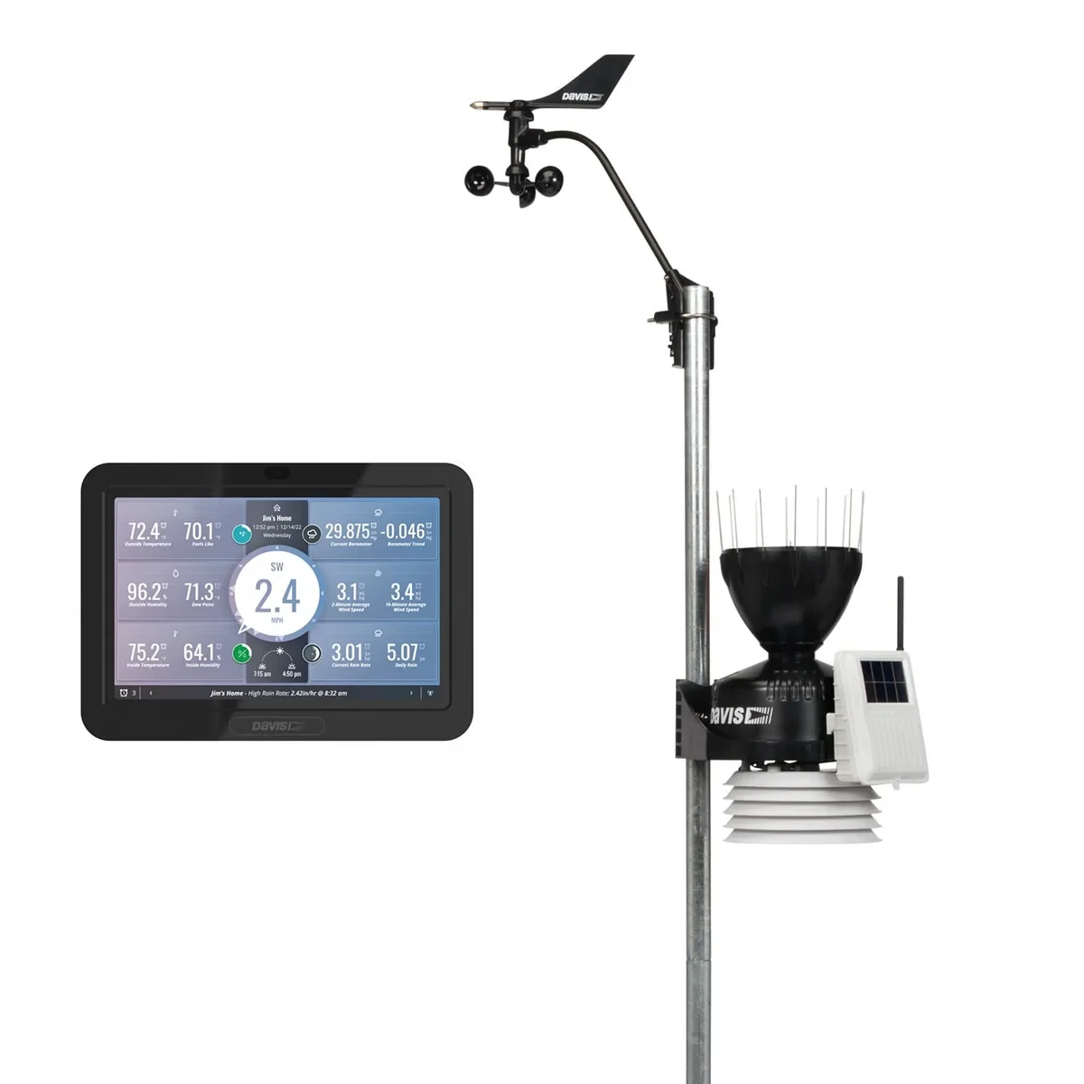
Wireless SKU 6252 with WeatherLink console
Davis Vantage Pro2
A configurable station for users who value a local console and a separate wind instrument. The cited package includes the WeatherLink console; solar and UV instruments are optional.
Solar and UV sensing depend on the selected package and additions.
View product details ↗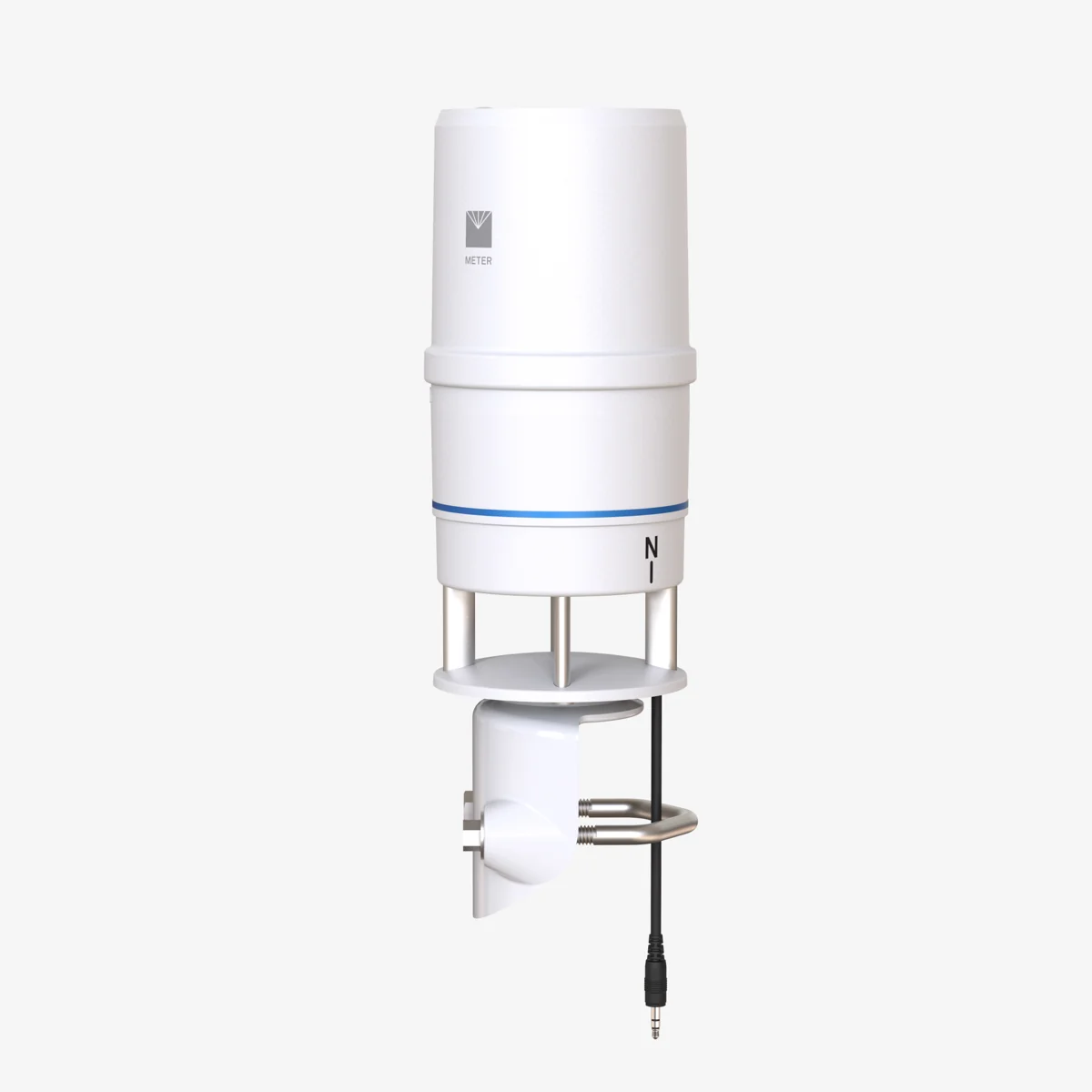
ATMOS 41 Gen 2
METER ATMOS 41
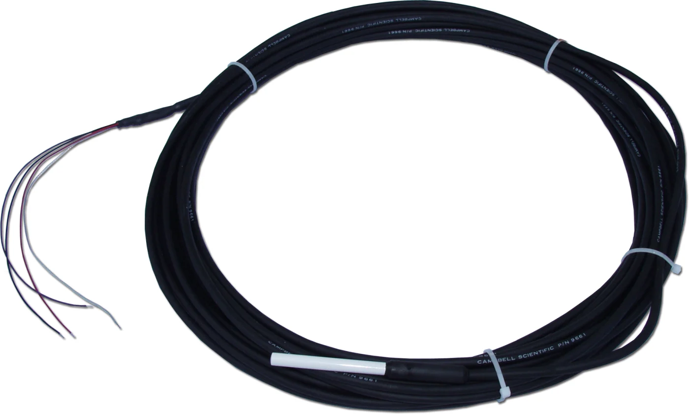
An all-in-one station for logger-based environmental monitoring. The current Gen 2 listing adds dual precipitation measurements, precipitation EC and an optional combined Modbus/SDI-12 interface.
Include a logger and telemetry; distinguish the Gen 2 configuration from earlier units.
View product details ↗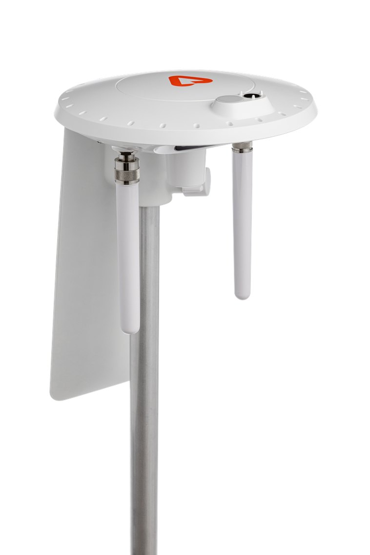
Mark 3; optional soil measurements require associated equipment
Arable Mark 3
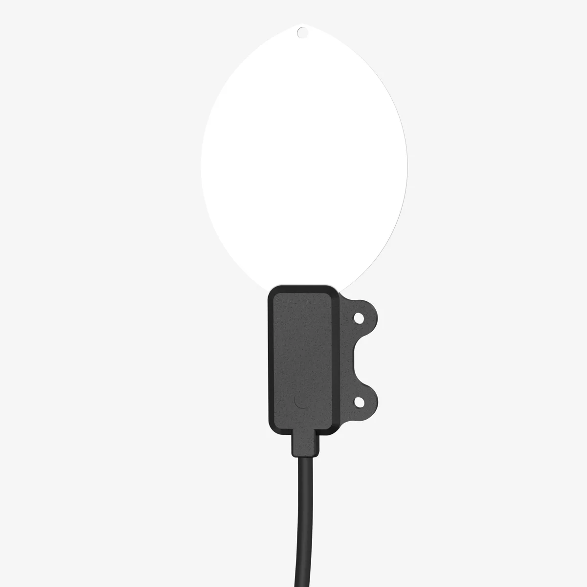
An integrated field monitor that brings canopy temperature together with weather and crop observations. Its daily crop camera provides additional context for interpreting changes.
Service scope, installation and the canopy viewed by the station are part of procurement.
View product details ↗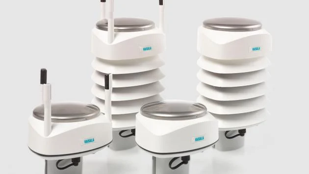
WXT536 six-parameter configuration
Vaisala WXT530 series: WXT536
A compact transmitter using ultrasonic wind sensing and acoustic precipitation detection. Logger, telemetry and any additional radiation measurement form a separate system specification.
Solar radiation is not in the six-variable set; select interface and heating configuration.
View product details ↗| Model | Measurement / role | Data connection | Coverage / installation |
|---|---|---|---|
| Pycno SKY WS | Temperature, humidity, solar radiation, rainfall, wind speed and direction | Pulse LoRa Gateway required; not Terra Masters | Local weather at one station site |
| Davis Vantage Pro2 | Temperature, humidity, rain, wind and pressure; solar/UV optional | Wireless sensor suite to WeatherLink console | Local weather; wind instrument can be mounted separately |
| METER ATMOS 41 | Integrated weather measurements including radiation, rain and ultrasonic wind | SDI-12; combined Modbus/SDI-12 option; compatible logger | Local weather with additional atmospheric variables |
| Arable Mark 3 | Canopy temperature alongside crop and weather observations | Arable connected platform and service | Fixed in-field crop view |
| Vaisala WXT530 series: WXT536 | Temperature, humidity, pressure, precipitation, wind speed and direction | Configured digital interface to suitable host/logger | Compact ultrasonic-wind and acoustic-rain assembly |
SKY WS and Pulse
SKY WS measures air temperature, relative humidity, solar radiation, rainfall, wind speed and wind direction. Including solar radiation makes the listed instrument set relevant to agricultural water-balance work as well as weather observation. Its LoRa configuration requires a Pulse gateway; the listed station is not supported by Terra Masters. The radio frequency must match the regional installation and gateway.
For a farm already using Pulse, SKY WS is a coherent way to add local weather without introducing a separate acquisition architecture. The station, gateway, mounting and data service should be specified together. A shared acquisition system can simplify the interpretation of rainfall alongside irrigation and soil records, while the physical exposure of each instrument still determines what its measurements represent.
Measurement methods
Air temperature instruments require a ventilated radiation shield. Without suitable shielding, absorbed sunlight can heat the instrument above air temperature. Relative humidity is the ratio of actual water vapour pressure to saturation vapour pressure at the measured temperature, expressed as a percentage. Temperature and humidity errors therefore affect calculated dew point and atmospheric drying demand.
A tipping-bucket rain gauge records water passing through a collecting funnel in discrete increments. The increment, wind exposure, funnel cleanliness and high-intensity response influence the resulting total. An acoustic precipitation sensor instead responds to raindrop impacts. Its conversion to rainfall is a measurement model, with different installation and precipitation limitations. The WXT536 uses acoustic precipitation sensing and ultrasonic wind measurement.
Mechanical wind instruments use rotating cups and a vane; ultrasonic instruments derive air movement from changes in acoustic travel time. Both need clear exposure. An integrated station fixes the relative locations of its instruments. A separated anemometer offers more mounting flexibility, but requires additional cabling or communications and a documented height.
Solar radiation and evapotranspiration
Solar radiation, usually recorded in W/m² and accumulated as energy per unit area, is not interchangeable with illuminance or ultraviolet exposure. A station without a suitable radiation sensor does not directly measure this input. The cited Vantage Pro2 package treats solar and UV instruments as additions; the WXT536's six-variable set includes pressure rather than solar radiation.
The FAO-56 Penman–Monteith method, published in 1998, estimates reference evapotranspiration from radiation, temperature, humidity and wind under defined reference conditions. The reference surface and wind-height convention matter. Reference evapotranspiration is distinct from crop evapotranspiration, which additionally depends on crop development, water availability and the selected crop coefficients.
For example, a 5 mm reference evapotranspiration estimate represents 5 litres per square metre of reference surface. Applying that number directly as an irrigation depth omits crop coefficients, effective rainfall, stored soil water and application efficiency. The station supplies meteorological inputs; the water balance determines their agricultural interpretation.
Data platforms
The Pycno platform provides charts, visual filtering, rule-based alerts and spreadsheet export, with agricultural calculations including growing degree days and chilling hours. For a SKY WS and Pulse installation, these functions provide a route from weather observations to organised farm records. The configured station inputs, data interval and service scope should be matched to the analysis being used.
Installation and observation records
Document coordinates, elevation, surrounding obstacles, mounting height and changes in nearby vegetation. A low orchard installation describes a different exposure from an open-field meteorological station. Moving a station or altering its shelter can produce a change in the record that resembles a climatic change.
Sampling, logging and transmission intervals should be distinguished. A sensor may measure frequently, store an average less often and upload batches at longer intervals. Rainfall totals, wind gusts and temperature minima can be lost if the aggregation method is unsuitable. Preserve timestamps, time zone, units and flags for missing or suspect data when exporting observations.
Package comparison should include electrical power, telemetry, logger or console, shielding, mounting hardware, service access and maintenance. Cleaning precipitation collectors, checking instrument level and reviewing implausible readings remain relevant even when communications are automatic.
Development and terminology
Automatic stations extended the work of manual thermometers, rain gauges and anemometers by recording observations electronically and transmitting them remotely. Compact sensor assemblies reduced installation complexity, while modular logger systems retained flexibility for specialised instruments. These approaches coexist because standard weather exposure and crop-specific exposure serve different observation objectives.
- Instrument exposure
- The surrounding physical conditions, height and shelter that influence an instrument's observations.
- Logger
- The equipment that measures or receives sensor outputs and stores time-stamped records.
- Reference evapotranspiration
- The estimated evaporation and transpiration from a defined reference surface.
- Aggregation interval
- The period over which measurements are combined into a stored statistic.
Questions about station packages
Does a weather station need a gateway?
It depends on the architecture. SKY WS LoRa requires Pulse. Wired assemblies need a compatible logger or host; a console-based package supplies a different receiving arrangement.
Is solar radiation included in every six-variable station?
No. Compare the actual variables. SKY WS lists solar radiation; WXT536 lists atmospheric pressure within its six-variable set.
Can one station describe every field?
It provides observations at one exposure. Topography, shelter and crop structure can produce differences between that site and other parts of the farm.