Compare the aircraft, payload and finished map together
Agricultural mapping drones range from compact multirotors with integrated optics to fixed-wing aircraft and modular platforms. The five systems below represent those different architectures. Their published endurance or payload capacity should not be interpreted as a direct ranking: flight plans, camera coverage, wind, reserves and the data product change the work a system can complete.
For crop indices, verify the actual multispectral configuration. For row inspection or drainage mapping, a high-quality RGB workflow may suffice. For canopy temperature, select a radiometric thermal camera and a suitable acquisition procedure. Purchasing the aircraft first and solving the sensing requirement afterwards can leave an expensive mismatch.
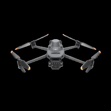
Mavic 3M integrated aircraft and camera
DJI Mavic 3 Multispectral
A folding multirotor that combines visible and multispectral sensing in one acquisition system.
Camera choice is tied to the aircraft; plan processing separately.
View product details ↗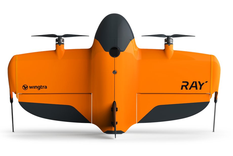
Current WingtraRAY platform; sensor selected separately
WingtraRAY
A vertical take-off aircraft designed for wing-borne surveys, with sensor choices for different mapping tasks.
Payload availability and output depend on the selected package.
View product details ↗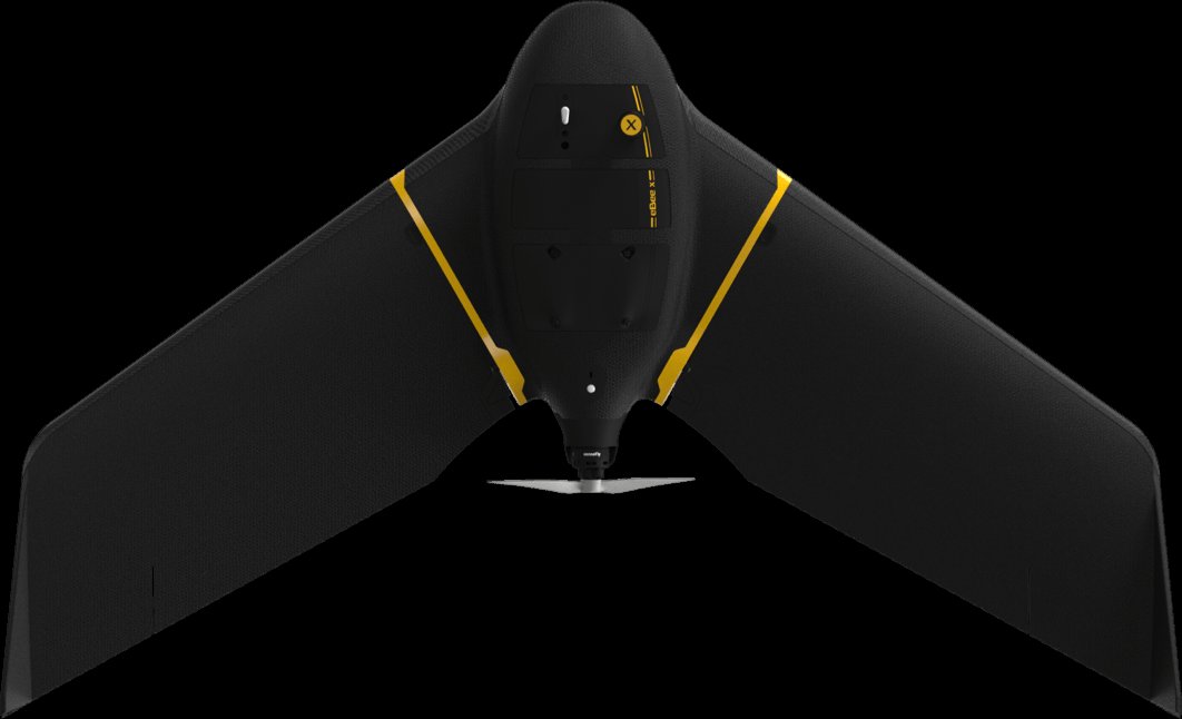
eBee X with selected mapping camera
AgEagle eBee X
A fixed-wing mapping platform with interchangeable cameras for different geospatial observations.
Confirm camera, RTK/PPK options and recovery constraints.
View product details ↗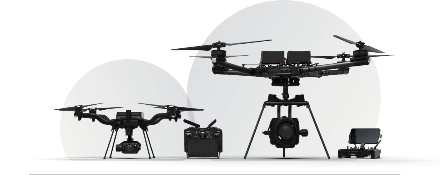
Astro platform with selected payload
Freefly Astro
A modular multirotor with documented RGB and crop-sensing payload routes.
Mount, sensor, software and operating mass must be checked together.
View product details ↗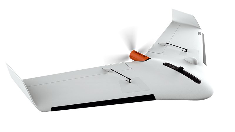
UX11 RGB mapping aircraft
Delair UX11
A fixed-wing system with an integrated industrial RGB camera for mapped visible imagery.
The RGB package does not provide multispectral crop bands.
View product details ↗| Model | Measurement / role | Data connection | Coverage / installation |
|---|---|---|---|
| DJI Mavic 3 Multispectral | RGB plus green, red, red-edge and near-infrared imagery | Integrated camera and RTK-capable acquisition workflow | Flight altitude and image plan determine ground sampling and coverage |
| WingtraRAY | RGB, lidar or multispectral according to selected sensor | Wingtra sensor and software ecosystem | VTOL launch with wing-borne mapping flight |
| AgEagle eBee X | RGB, multispectral or thermal according to compatible camera | Camera selection and positioning options form the complete system | Fixed-wing survey flight with hand-launch workflow |
| Freefly Astro | RGB or Sentera multispectral/thermal payload options | Modular payload ecosystem; RTK and mission-computer workflow | Multirotor missions; coverage depends on payload and flight plan |
| Delair UX11 | Integrated global-shutter RGB camera | Integrated camera and Delair mapping workflow | Fixed-wing survey flight |
Where each architecture fits
DJI Mavic 3 Multispectral combines RGB and multispectral sensing in a compact folding multirotor. It suits growers who want an integrated crop-imagery acquisition route, provided the processing and operating requirements fit their farm. WingtraRAY uses vertical take-off and wing-borne mapping flight; its payload choices should be confirmed for the required crop observations. Confirm the supplied WingtraRAY generation and camera package when requesting a quotation.
AgEagle eBee X is a fixed-wing platform with interchangeable mapping cameras. Its launch and recovery requirements are part of the purchase decision, as are the selected camera and positioning options. Delair UX11 offers a fixed-wing RGB mapping approach with an integrated global-shutter camera. It is a geometry and visible-imagery option; do not assume the UX11 RGB package provides the spectral bands required for vegetation indices.
Freefly Astro is a modular multirotor with a documented payload ecosystem, including RGB and Sentera sensor options. It is relevant where an organisation wants different instruments on one aircraft platform. The chosen payload, mount, software and operating mass must be checked together. A platform's ability to carry an instrument is not the same as a validated processing workflow for the intended measurement.
Coverage claims need a common mission
Ask each supplier for a flight plan over the same representative field using the desired GSD, overlap and sensor. Include required reserves, battery exchanges and recovery time. At a fixed altitude, a camera with a wider footprint may cover more ground per image, while a higher-resolution sensor may deliver finer sampling. Those differences make aircraft-only acreage claims difficult to compare fairly.
Separate horizontal map accuracy from image GSD. RTK and PPK capabilities describe positioning methods; a verified map still needs independent checkpoints and a stated coordinate reference system. An aircraft specification cannot account for every effect of terrain, camera calibration, crop movement or processing. Request a sample dataset and a processing report, then assess them against the task.
For small irregular fields, the ability to manoeuvre and recover in a confined area can outweigh endurance. For large contiguous areas, wing-borne flight can be attractive, but transport, launch permissions and landing space remain relevant. Field boundaries, overhead obstacles and neighbouring activity should be evaluated during the demonstration.
The complete purchase package
Obtain a configuration list covering aircraft, camera, batteries, charger, controller, positioning corrections, calibration equipment, transport case, processing licences and training. Identify parts that are standard, optional or subscription-dependent. Include a replacement strategy for an aircraft or battery failure during a short agronomic observation window.
Ask about service arrangements in your country and whether the exact hardware generation is still supplied. Historical reviews can be useful background, but should not be used as current quotations or proof that a payload remains supported. The manufacturer pages here establish the listed families and sensing architecture; local suppliers should confirm availability and the package they will deliver.
Check raw-data access and compatibility with the software you intend to use. A proprietary delivery workflow may be convenient, but data export, processing control and retention matter when an adviser or research team needs the original observations. Keep ownership and licence questions in the quotation rather than discovering them after the first season.
Terms in a drone quotation
- Multirotor
- An aircraft using multiple rotors for lift and manoeuvring.
- Fixed wing
- An aircraft primarily supported by aerodynamic lift during forward flight.
- VTOL
- Vertical take-off and landing, sometimes combined with fixed-wing cruise.
- Global shutter
- A camera exposure method that captures the frame together, reducing some motion-related geometric distortion.
- Payload integration
- The mechanical, electrical and software arrangements connecting a sensor to the aircraft.
Questions when comparing offers
Is the longest flight time the best choice?
Only if it improves the usable output for your fields. Compare a complete mission with the chosen sensor, reserves and recovery constraints.
Does an RGB mapping camera produce NDVI?
Conventional RGB imagery does not supply the near-infrared band used in NDVI. Select a suitable spectral instrument.
Can I compare vendor accuracy numbers directly?
Check test conditions, camera, altitude, positioning, checkpoints and the reported statistic. Similar-looking figures can describe different measurements.
Sources & further reading
- DJI Mavic 3 Multispectral Edition - See More, Work Smarter - DJI
- WingtraRAY | Survey and mapping drone for faster results and confidence in the field | Wingtra
- eBee X mapping drone - Drones | AgEagle Aerial Systems Inc.
- Astro - US Made Commercial Drone
- Professional Mapping Drone : discover the Delair UX11 UAV