Buy the workflow as well as the imagery
A satellite crop-monitoring service can save the work of finding scenes, masking clouds, drawing fields and maintaining time series. The right choice depends on whether you need a ready-to-use scouting platform, machinery-ready prescriptions or imagery for an existing analytical system. Those are different purchases. Two services may use the same satellite data yet offer very different access, support and export options.
Start with one growing season and a small set of representative fields. Include a narrow parcel, a cloudy location and a field with a known management difference. Ask each supplier to show the acquired image dates, excluded pixels and downloadable values on those fields. The quality of that demonstration is more useful than counting dashboard features.
Five routes from space to a farm decision
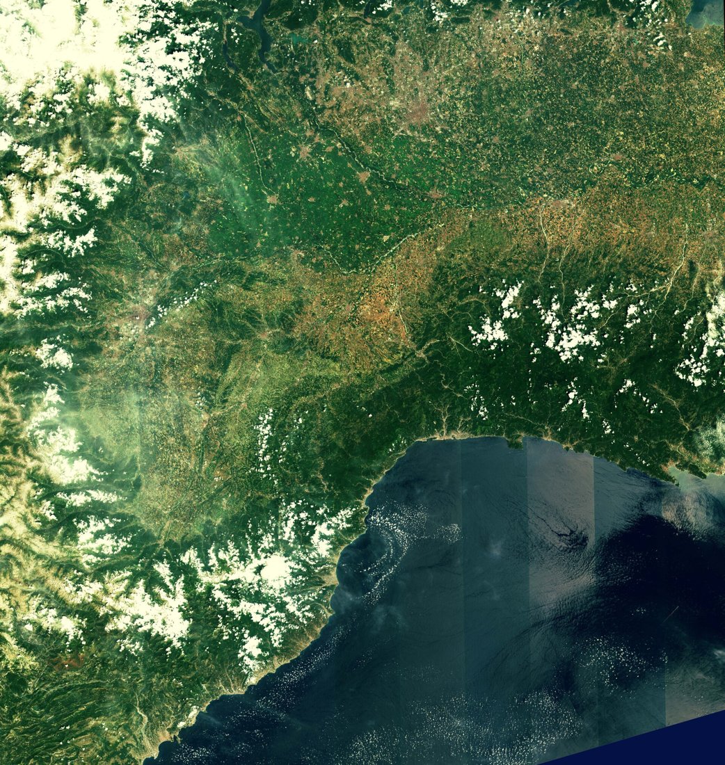
EOSDA Crop Monitoring and OneSoil provide farmer-facing analysis workflows. GeoPard brings satellite observations into a broader geospatial environment with zones, soil information and machinery-related data. Planet supplies imagery and analytical data that can be integrated into an organisation's own systems. Airbus provides satellite imagery and precision-farming analytics, with service scope depending on the selected offering and region. Treat the latter two as data and solution suppliers, rather than assuming they reproduce every function of a grower's subscription app.
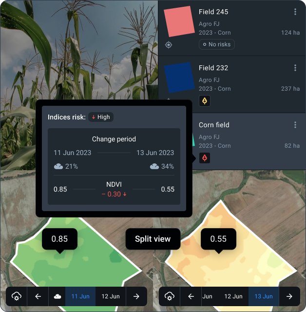
Crop Monitoring service; subscription features vary
EOSDA Crop Monitoring
A farmer-facing service combining vegetation maps, historical analysis and field monitoring tools.
Check premium sources, exports and included functions by plan.
View product details ↗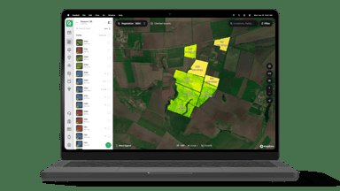
OneSoil farmer platform; paid/free scope varies
OneSoil
A satellite-based agricultural platform connecting field observations with management and variable-rate workflows.
Confirm which zoning and export tools belong to your package.
View product details ↗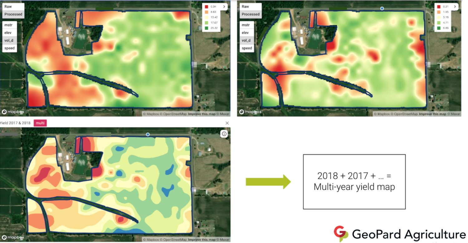
GeoPard precision agriculture platform
GeoPard
A geospatial agricultural platform for combining field layers and creating zones and prescription maps.
Input-data quality and prescription assumptions remain the grower’s responsibility.
View product details ↗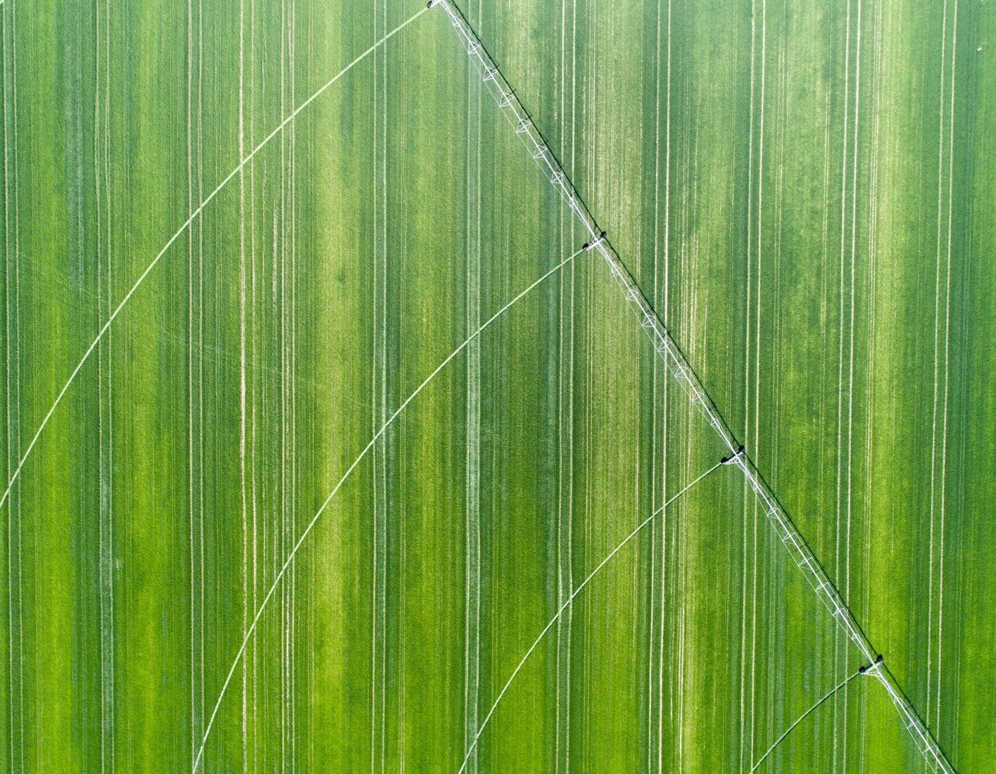
Planet imagery and analytical services; product-dependent
Planet agricultural imagery
A commercial satellite supplier with agricultural imagery and analysis offerings that can be integrated into existing software.
Data supply differs from a complete farmer subscription application.
View product details ↗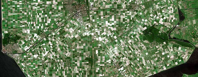
Imagery, analytics and regional precision-farming offerings
Airbus precision farming imagery
A supplier of satellite imagery and crop analytics with several access routes and service scopes.
Regional agronomic services and imagery licences need separate confirmation.
View product details ↗| Model | Measurement / role | Data connection | Coverage / installation |
|---|---|---|---|
| EOSDA Crop Monitoring | Satellite vegetation analysis, field records and weather context | Web platform and configured data access | Field-based monitoring; satellite source and plan affect imagery |
| OneSoil | Satellite field monitoring and variable-rate mapping tools | Web and mobile platform | Field and regional analysis according to selected service |
| GeoPard | Satellite, soil, yield and terrain layer analysis | Geospatial platform and data integrations | Field-level multi-layer analysis and management zones |
| Planet agricultural imagery | Optical imagery and agricultural analytical data | Data integration and imagery access arrangements | Imagery product determines resolution and observation opportunities |
| Airbus precision farming imagery | Satellite imagery and crop analytics according to package | Portal, API, download or streaming according to service | Sensor, contracted area and acquisition offer determine detail |
Read the specifications behind the map
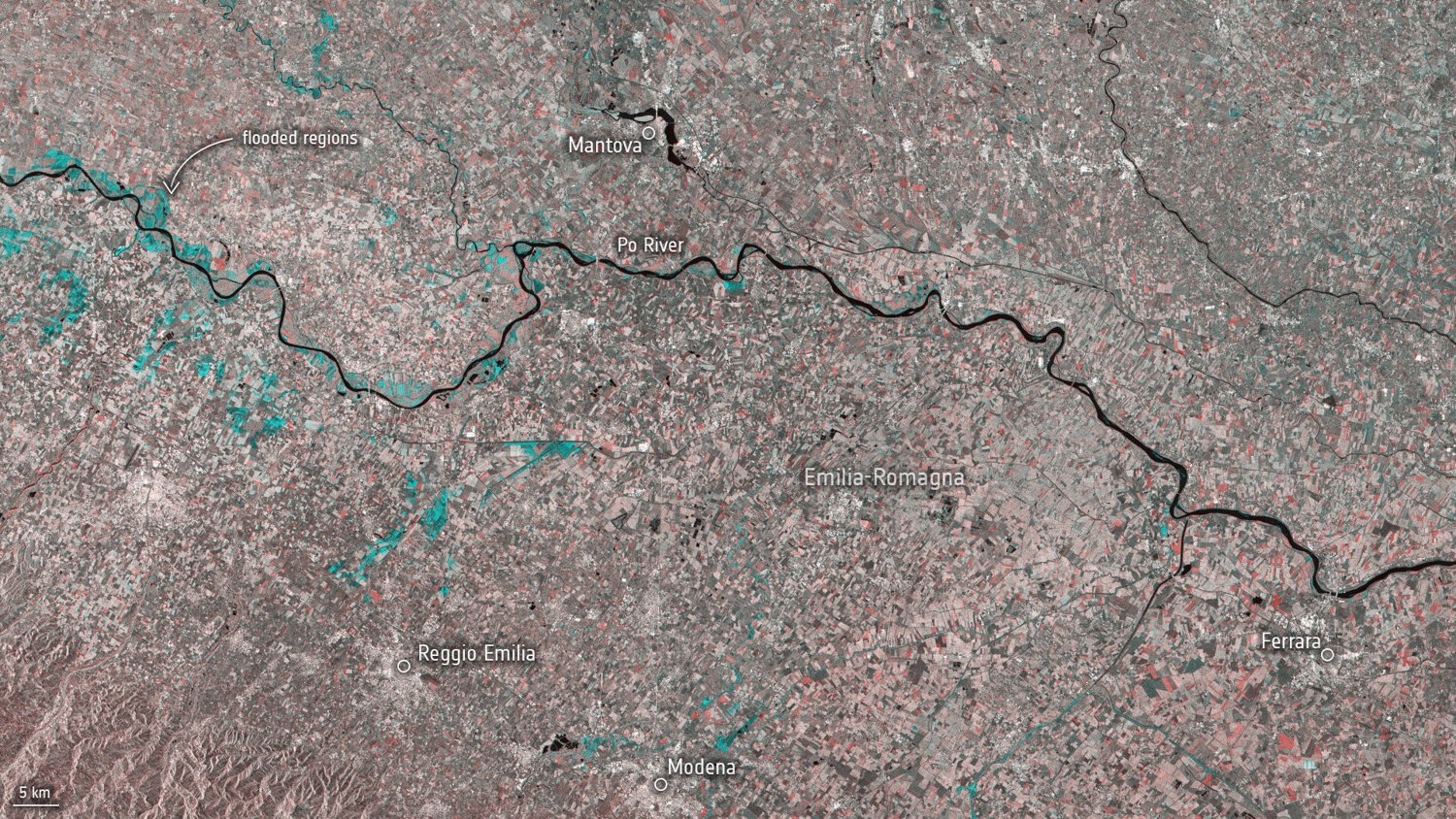
Check the native spatial sampling of every band used by a service. A display drawn on a fine grid may still contain coarser information. Ask whether a vegetation layer is based on the latest clear acquisition, a mosaic of dates or an interpolated series. Each can be useful, but each answers a different question. A date range beside a mosaic deserves attention before using it to investigate a sudden change.
Nominal satellite revisit is an opportunity to observe. Usable observation frequency also depends on clouds, shadows, coverage, acquisition planning and the provider's acceptance rules. Daily access to a dashboard does not imply a new clear image of the field every day. Count accepted observations during the crop's important decision window, not just over the full year.
Check radiometric processing and cloud handling. A consistently processed surface-reflectance series is easier to compare than layers assembled without a common convention. NDVI describes a reflectance relationship, not a diagnosis of crop stress. A platform's scouting tool is useful when it lets an agronomist attach field findings to the exact patch and date that triggered the visit.
Compare complete service packages
Request a quotation that identifies hectares or fields, user seats, satellite sources, premium imagery, history depth, export access and support. Distinguish free monitoring functions from paid zoning or prescription functions. An API, a downloadable image and a machinery prescription are different deliverables. Ask for examples in the coordinate system and file format your existing software uses.
Regional crop coverage matters for agronomic recommendations. A crop model or prescription workflow offered in one market should not be assumed to support every crop and jurisdiction. Confirm whether the supplier provides a recommendation, a management-zone layer or only observations for your agronomist to interpret. Record who approves rates before a prescription enters a controller.
Data ownership includes more than the right to look at a screen. Establish whether you can retain historical exports after cancellation, share them with an adviser and combine them with yield or soil data. Farm boundaries, machinery records and scouting notes can be commercially sensitive. Review access control and deletion arrangements alongside image licences.
Run a field-based comparison
- Import identical boundaries and verify the mapped area in each service.
- Choose matching acquisition dates and compare valid interior pixels.
- Inspect a persistent anomaly and record the cause independently.
- Export a map and test it in the software that will receive it.
- For prescriptions, test a small file in the intended controller before committing to a package.
Satellite monitoring grew from specialist remote-sensing workflows into web and mobile farm tools as public archives, cloud processing and commercial constellations expanded. That history explains why today's market includes both analytical platforms and data infrastructure. Select the level of responsibility you want the supplier to carry.
Service terms to recognise
- API
- A software interface for accessing data and functions programmatically.
- Data licence
- The conditions governing use, retention and redistribution.
- Prescription
- A georeferenced instruction layer specifying application rates or actions.
- Usable observation
- An acquisition that meets the quality and coverage criteria for the intended analysis.
Questions before subscribing
Should I choose the sharpest image?
Choose enough detail for the field and task. Timely clear coverage, history and usable exports can matter more than the smallest nominal pixel.
Can I transfer my archive later?
Check the contract and try an export during the evaluation. Do not assume a visual dashboard includes bulk data access.
Will these services replace walking the crop?
They can direct scouting and document change. Confirming causes still requires field observation and relevant measurements.
Sources & further reading
- Crop Monitoring Software For Remote Farm Analytics
- OneSoil — Satellite Agricultural Intelligence | OneSoil
- Smart Farming and Precision Agriculture software by GeoPard
- Precision Agriculture Imaging with Planet Satellite Solutions | Planet
- Airbus satellite imagery and first-class crops analytics | Airbus Space Solutions
- ESA - Sentinel-2