Choose drone sensing for a decision a satellite cannot resolve
A drone can collect imagery on a chosen day and at a scale that reveals crop rows, trial plots and small patches. It is especially useful when field boundaries are narrow, an anomaly needs close inspection or cloud gaps leave a satellite time series incomplete. The decision to operate one should begin with a repeatable observation task: stand assessment, weed mapping, drainage inspection, research plots or canopy-temperature measurement.
Mapping and spraying are separate functions. A spraying aircraft needs delivery hardware and an application workflow; a mapping aircraft needs suitable optics, calibration and reliable image positioning. Neither function is guaranteed simply because the aircraft is sold for agriculture. Compare the required payload and final data product before comparing aircraft size.
What the camera contributes
RGB imagery records visible colour and can support orthomosaics, counting and visual scouting where the objects are large enough. Multispectral cameras record selected bands, often including red edge and near infrared, to analyse canopy reflectance. Thermal cameras measure emitted infrared radiation and support temperature analysis. Canopy temperature depends on sunlight, air movement, humidity and plant water relations, so it needs environmental context and a consistent acquisition method.
Ground sampling distance, GSD, is the distance on the ground represented by an image pixel. Flying lower often reduces GSD but also reduces the area covered by each image. That increases image count and can require more flights. A small GSD describes sampling, not map accuracy, disease identification or the reliability of a plant-counting algorithm. Lens quality, motion blur, exposure and processing remain important.
Reflectance calibration uses reference information to make multispectral observations more comparable. A calibration panel has known reflectance properties; an irradiance sensor measures incoming light. Panel handling, shadows, changing illumination and sensor alignment all influence the result. Use the camera maker's procedure and retain panel images with the mission archive.
Plan the flight around the field
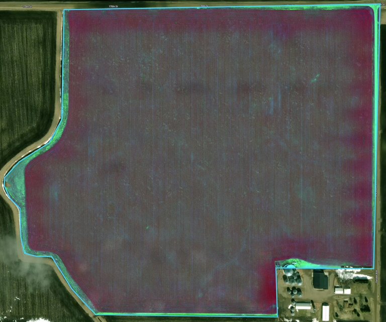
Define the boundary and add enough coverage beyond it for reliable reconstruction, while respecting neighbouring land and operating limits. Choose an altitude, overlap and speed appropriate to the camera and crop texture. Uniform canopy can make image matching harder than a textured surface. Wind can move leaves between overlapping frames and degrade the reconstructed product.
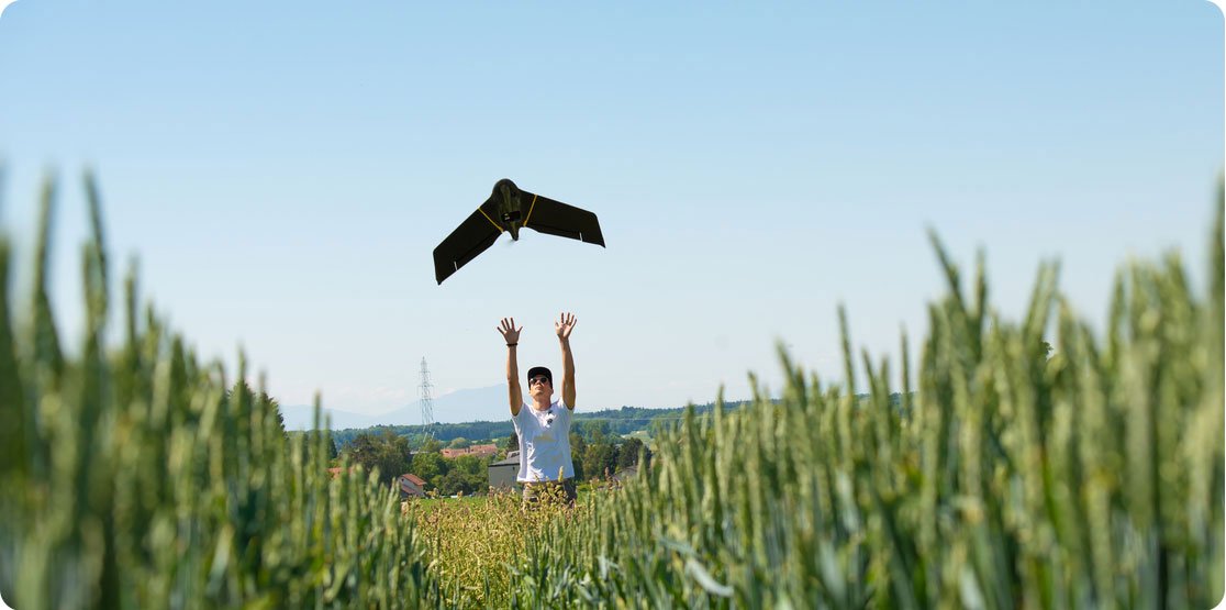
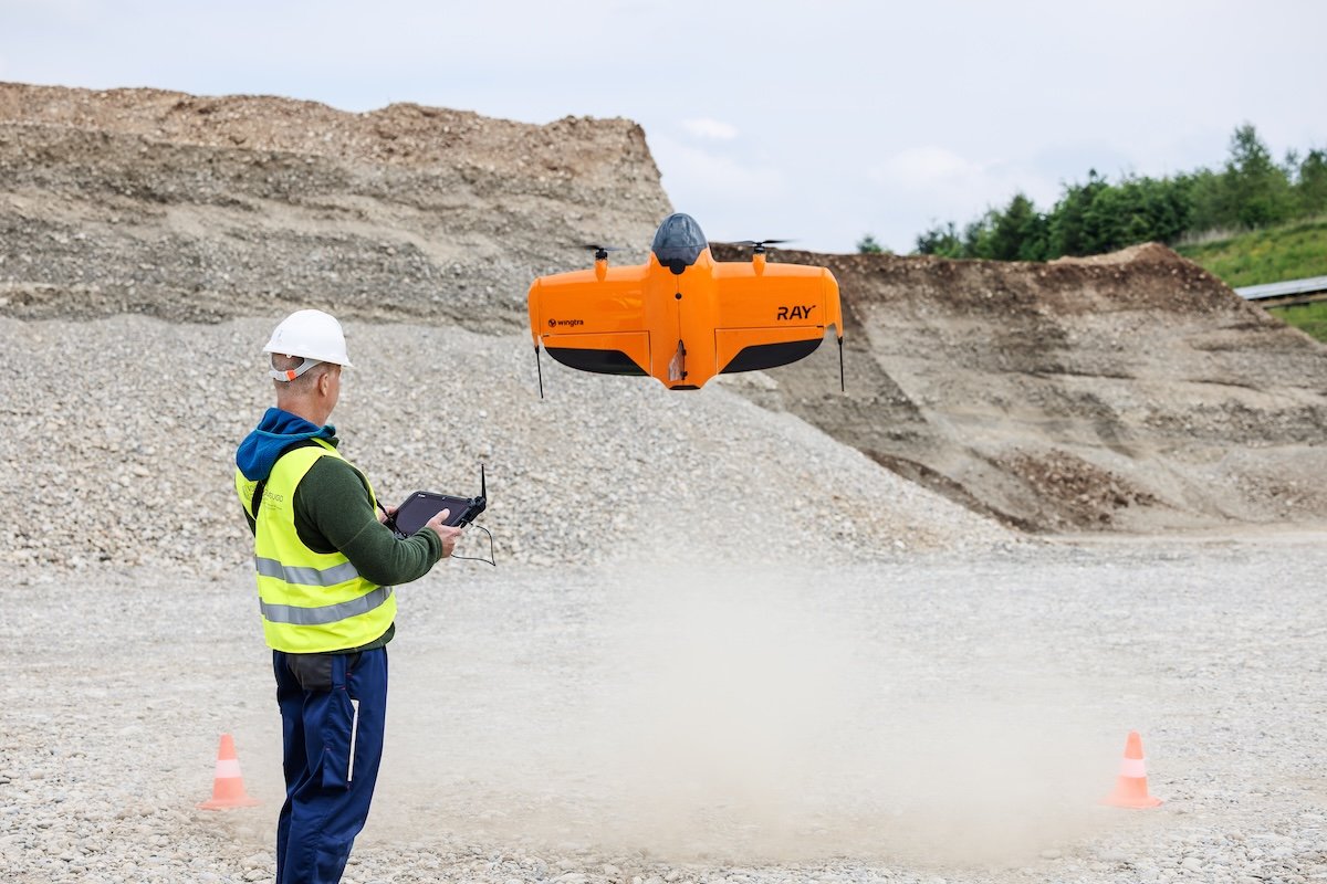
A multirotor can hover and work from a small launch area. A fixed-wing aircraft uses forward flight efficiently across larger areas but needs a suitable launch and recovery method. A VTOL design combines vertical launch with wing-borne survey flight. Each architecture has constraints; evaluate actual field access and the complete mission, including battery changes and recovery, rather than maximum endurance alone.
Check applicable aviation requirements and the intended operation with the relevant authority. Aircraft classification, pilot competence, operating area and permissions vary by country and mission. Survey capability does not grant permission to fly beyond visual line of sight or above people. Build weather limits, emergency landing areas and an abort procedure into the operating plan.
Positioning and checks on the ground
RTK uses correction information during acquisition; PPK applies corrections afterwards. Both can improve camera-position estimates when supported by the aircraft and workflow. Ground-control points constrain processing, while independent checkpoints test the finished map. A low processing residual at a control point is not an independent accuracy result. Place checks across the site rather than only near the take-off location.
Save raw images, positioning files, camera settings, weather notes and the processing report. Keep the field boundary and coordinate system with the exported map. A second flight only becomes a useful comparison when positioning and radiometric procedures are compatible. Changing altitude, camera, sun conditions and processing without documentation can create apparent differences unrelated to the crop.
How aerial crop sensing developed
Aerial photography existed long before small drones, and survey photogrammetry established many of the geometric methods still used today. Digital cameras, satellite positioning and compact autopilots made repeated low-altitude mapping more accessible. Multispectral payloads then brought band-specific crop observations to small aircraft. Current systems differ substantially from early consumer-drone conversions, especially in positioning, calibration and payload integration.
Compare complete systems in the mapping drone comparison, select the instrument in the camera comparison and plan delivery through the mapping workflow guide.
Mapping terminology
- GSD
- Ground sampling distance: ground distance represented by one image pixel.
- RTK
- Real-time kinematic positioning using correction information during acquisition.
- Payload
- The camera or other instrument carried by the aircraft.
- Flight overlap
- The shared ground coverage of neighbouring photographs used for reconstruction.
Questions about adoption
Should I buy or hire a service?
Consider mission frequency, pilot availability, processing capacity and how quickly observations must be delivered. A contractor is often a useful way to test the required output before building an internal operation.
Can I fly whenever satellite imagery is cloudy?
Only when weather, visibility and local rules allow it. Low cloud, rain and wind can also restrict a drone mission.
Can one map set fertiliser rates?
A reflectance map can define areas to investigate. Rates need agronomic reasoning, soil and crop context, calibration and approval of the final prescription.