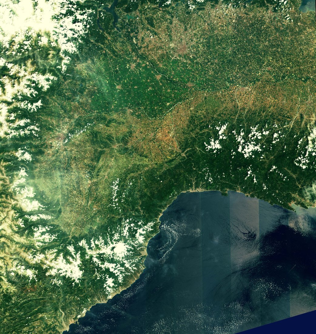
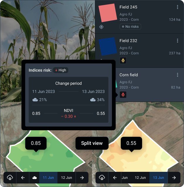
A different view when clouds interrupt optical imagery
Synthetic aperture radar, or SAR, illuminates the Earth with microwave signals and measures the energy returned to the instrument. It supplies observations without requiring sunlight and can operate through cloud. For agriculture this makes radar useful alongside optical time series, particularly where wet seasons coincide with crop development or flooding. Radar values describe scattering behaviour, so they should be interpreted with weather, crop stage and field history.
The instrument is not taking a conventional photograph. Brightness depends on wavelength, polarisation, viewing geometry, surface roughness, water content and vegetation structure. A sudden change can flag a field for inspection without uniquely identifying its cause. Combining radar with optical observations usually makes the pattern easier to explain.
How an orbit becomes an image
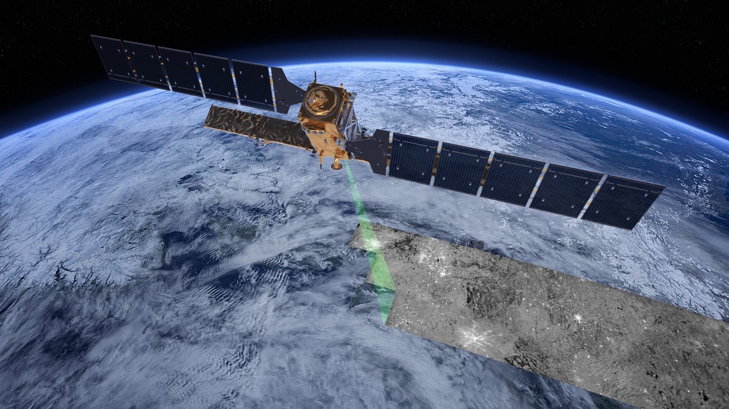
As the spacecraft moves, it collects radar echoes from many positions. Processing combines these signals to produce a synthetic aperture that resolves features more finely than the physical antenna alone would allow. The acquisition is side-looking. Range describes the direction away from the sensor; azimuth follows its flight path. Terrain and buildings can therefore create shadow, foreshortening and layover that differ from distortions in an optical image.
Backscatter is the returned signal associated with a ground area, commonly expressed as a calibrated coefficient or in decibels. A decibel value is logarithmic. Averaging values in decibels is not always equivalent to averaging linear power and converting afterwards. Record the processing convention when comparing field statistics, and avoid treating differently processed layers as one consistent time series.
Speckle is a granular pattern resulting from coherent interference among scattering elements. Filtering can suppress it, but can also blur narrow field features. A small parcel with very few independent observations is particularly sensitive to this trade-off. Check how the processing changes boundaries and isolated patches rather than judging it only by how smooth the picture looks.
What changes radar response in a crop
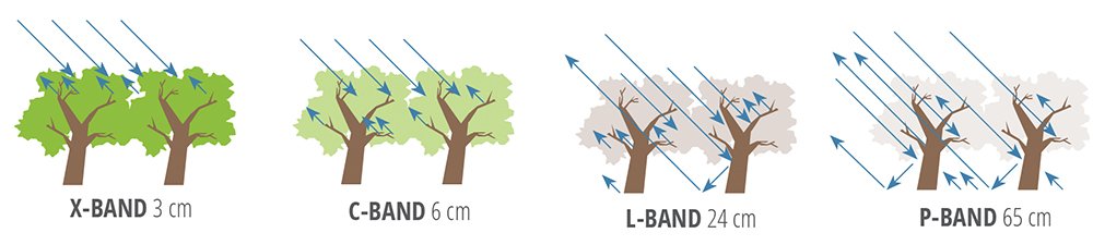
A bare rough soil surface returns microwaves differently from a smooth one. Moisture changes its dielectric properties. After emergence, stems, leaves and canopy arrangement contribute to the return; their influence varies with wavelength and crop structure. As the canopy develops, separating the soil and vegetation contributions becomes harder. Rain on vegetation can also change the signal independently of root-zone water.
Polarisation describes the orientation of the transmitted and received electric fields. Co-polarised and cross-polarised channels respond differently to scattering mechanisms. Comparing them can help characterise vegetation, but a channel ratio is not a universal crop-health score. Use consistent acquisition geometry and a locally checked relationship for the crop and season.
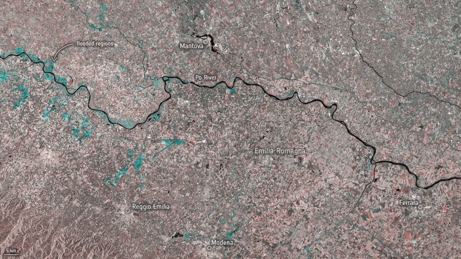
The October 2024 Sentinel-1 scene above compares Emilia-Romagna observations before and after flooding, with affected areas highlighted in blue. This is a processed change product rather than an optical view.
Smooth open water often appears dark in a radar scene because much of the energy reflects away from the sensor. Flooded vegetation or infrastructure may return stronger signals through multiple reflections. Consequently, a simple dark-pixel threshold can miss some flooding and include unrelated smooth surfaces. Check drainage patterns and recent rain before drawing a flood boundary.
Mission history and data selection
Spaceborne radar observation predates today's farm dashboards; European ERS and Envisat missions established important earlier records. Sentinel-1A launched in 2014 as part of Copernicus, expanding systematic radar observation. Historical records and present acquisitions should be checked separately because spacecraft availability, coverage and observation plans change. Do not assume that a theoretical revisit interval guarantees an observation of every field on that schedule.
Public Sentinel-1 data and commercial radar tasking serve different requirements. Sentinel-1 supports systematic time series; commercial acquisitions may be selected for resolution, latency, area or a particular event. A finer product can carry additional cost and processing obligations. Compare a supplier's actual acquisition offer and data licence, including the right to redistribute derived maps.
A reliable analysis sequence
- Select the same orbit direction and compatible acquisition mode for repeat observations.
- Apply orbit information, radiometric calibration and terrain correction with a documented workflow.
- Identify invalid edges and terrain effects, then choose a speckle treatment appropriate to parcel size.
- Summarise field interiors, preserving acquisition time, channel and quality information.
- Compare changes with rainfall, crop stage, cultivation and optical maps.
Keep the original processing settings with each exported layer. A changed filter or correction method can look like a real agricultural change if its metadata is lost.
Radar vocabulary
- Backscatter
- The radar signal returned from an area toward the sensor.
- Speckle
- Granular variation caused by coherent interference of radar echoes.
- Layover
- A geometric effect where the return from elevated terrain arrives before that from its base.
- Co-polarisation
- Transmission and reception in the same polarisation orientation.
Questions about radar interpretation
Does radar measure my soil probe's moisture?
No. A radar observation integrates a spatial and depth response that depends on the surface, vegetation and acquisition. A buried probe measures a local volume. Agreement requires a model and validation, not direct substitution.
Does cloud independence mean every radar scene is usable?
No. Coverage, geometry, terrain, radio effects and processing still matter. Check the acquired scene and its quality flags.
Can I compare any two dates?
Use comparable acquisitions first. Changes in viewing geometry or processing can alter the signal even if field conditions stay similar.