A map becomes useful when its position and meaning are checked
The farm mapping workflow begins before a flight or satellite download. Decide which observation is required, who will interpret it and which system will receive the output. A scouting map, a surveyed boundary and a variable-rate prescription have different tolerances and validation needs. A visually sharp orthomosaic does not automatically meet all three requirements.
Store a project record with the field boundary, acquisition date, crop stage, camera or satellite source, coordinate reference system and intended use. This connects a final map to its measurements and prevents an old layer from being mistaken for a current observation. Keep the same discipline whether processing is done locally, by a contractor or in a cloud service.
Five software routes
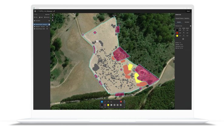
PIX4Dfields focuses on agricultural image processing, crop analysis and prescription workflows, including offline processing. Agisoft Metashape is a photogrammetry environment for reconstructing geometry and georeferenced products from images. DroneDeploy combines aerial capture and mapping with field-oriented analysis and collaboration. WebODM provides an open-source drone-image processing interface. QGIS is a geographic information system for combining, inspecting and analysing layers; it is not an aircraft controller or a replacement for photogrammetric reconstruction.
PIX4Dfields agricultural mapping software
PIX4Dfields
Agriculture-focused processing software for turning image data into field maps and application workflows.
Check supported sensors and the receiving controller format.
View product details ↗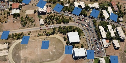
Professional edition
Agisoft Metashape Professional
A photogrammetry environment for reconstructing mapped products from overlapping photographs.
Agronomic interpretation and prescriptions require additional decisions or tools.
View product details ↗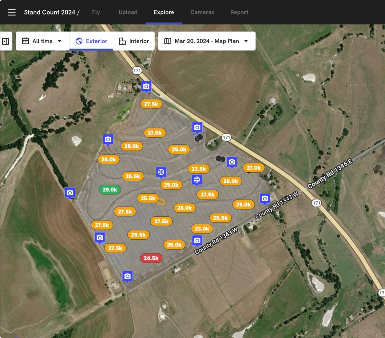
Agricultural aerial mapping workflow; package-dependent
DroneDeploy
An aerial mapping platform with agricultural workflows for sharing and analysing field imagery.
Confirm sensor support, cloud processing and export entitlement.
View product details ↗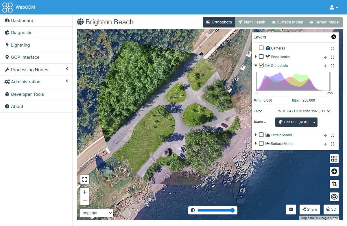
WebODM interface for drone processing
WebODM
An open-source interface for processing drone imagery and working with resulting maps.
Operating and maintaining the processing environment needs suitable capacity.
View product details ↗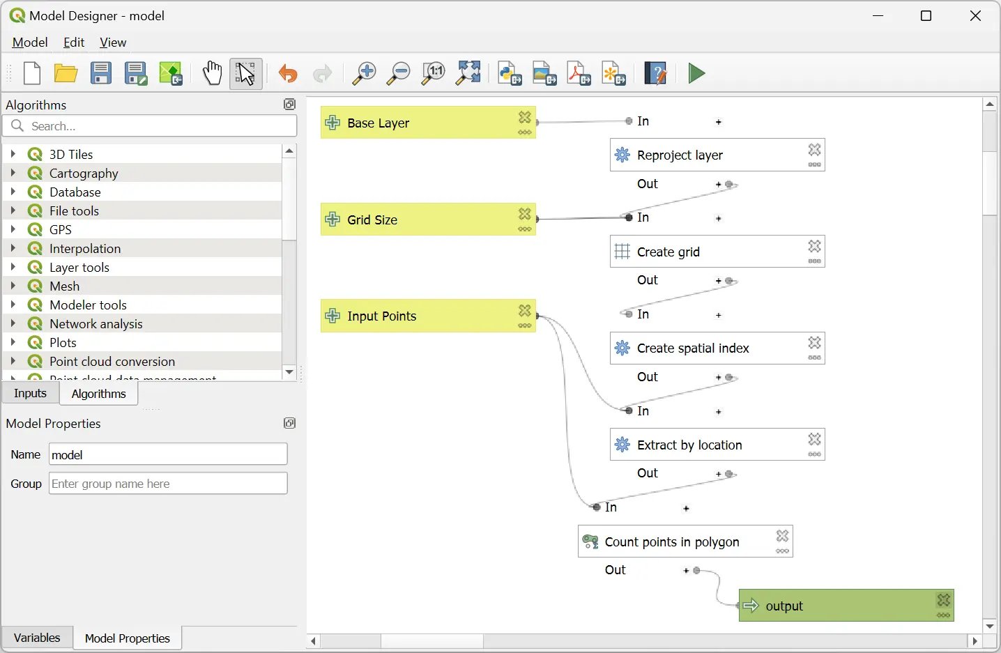
QGIS geographic information system
QGIS
A geographic information system for organising, checking and analysing mapped information.
Use a separate photogrammetry workflow to reconstruct raw drone images.
View product details ↗| Model | Measurement / role | Data connection | Coverage / installation |
|---|---|---|---|
| PIX4Dfields | Drone and satellite mapping, indices and prescription tools | Local processing; offline workflow documented | Fields represented by input imagery and project settings |
| Agisoft Metashape Professional | Photogrammetric reconstruction and georeferenced outputs | Desktop image-processing workflow | Project extent and input-image geometry determine coverage |
| DroneDeploy | Aerial mapping and field-oriented analysis | Capture, cloud mapping and collaboration workflow | Mission and imagery determine mapped area |
| WebODM | Mapped image products through a drone-image processing workflow | Browser interface to the processing environment | Project size and input data determine processing demand |
| QGIS | Geospatial layer inspection, editing and analysis | Desktop GIS with broad format support | Raster and vector datasets define project coverage |
From overlapping photographs to an orthomosaic
Photogrammetry identifies matching features in overlapping photographs, estimates camera geometry and reconstructs the scene. An orthomosaic places corrected images into a common map geometry. Surface models help account for height; crop movement, weak texture and repetitive rows can make reconstruction difficult. Reject blurred or poorly exposed photographs rather than assuming more images always improve the result.
Use the intended coordinate reference system from the start. A geographic system expressed in latitude and longitude differs from a projected system expressed in metres. Heights can reference an ellipsoid or a vertical datum. Mixing those conventions can shift a layer or produce misleading elevation differences. Check every import and export, especially when joining drone data with machinery records.
Ground-control points help constrain a reconstruction. Independent checkpoints assess the output without being used to fit it. Distribute them through the survey and around changes in terrain. Report the checkpoint errors and statistic used, rather than presenting only a software's internal residual as achieved map accuracy. RTK or PPK camera positions can improve the workflow, but they do not eliminate the need to verify a product against its intended use.
Preserve the measured information
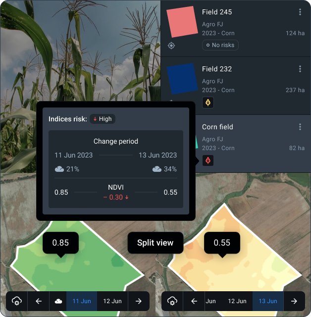
Multispectral processing requires calibration and band alignment as well as geometry. Retain panel images, irradiance records and the original band files. An RGB orthomosaic is useful for visual inspection, but cannot substitute for the near-infrared measurements needed by NDVI. Thermal layers require their own calibration and environmental metadata.
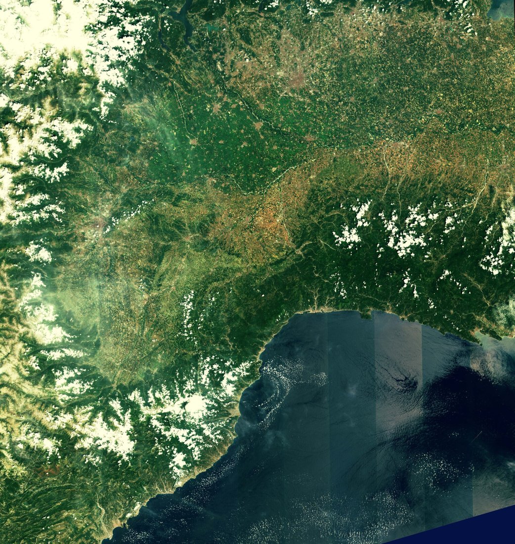
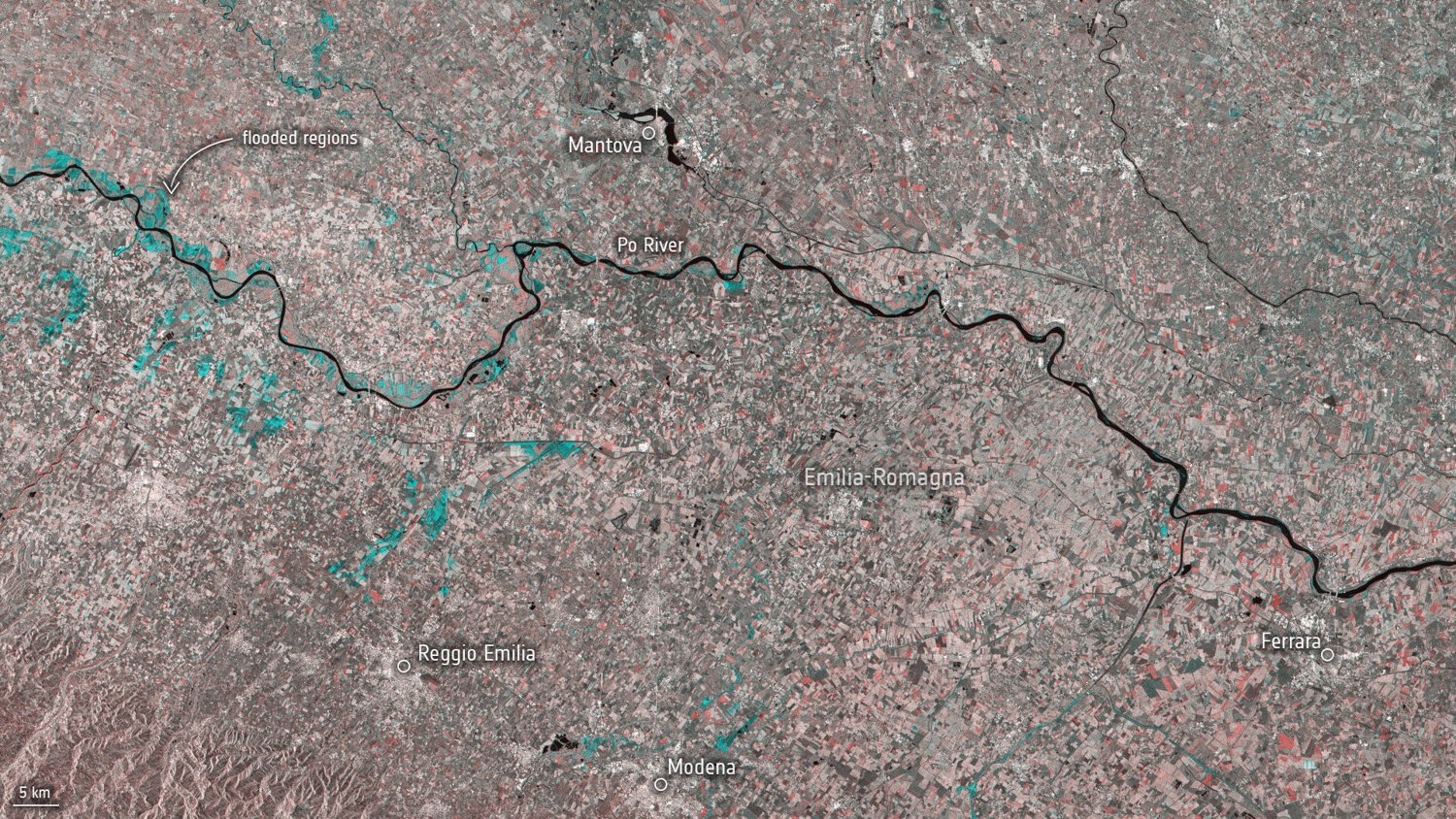
When importing a satellite raster, retain acquisition time, band identity, scale factor, cloud mask and processing level. A blank or invalid pixel is not zero crop reflectance. Reprojection and resampling can change the numerical behaviour of a raster. Use suitable interpolation for continuous measurements and preserve class codes with a categorical method when processing masks or zones.
Keep the analytical raster as well as the colour-rendered image. A JPEG screenshot has a useful visual role but generally loses the numeric values, coordinates or quality layers needed for analysis. Use georeferenced formats appropriate to the recipient and verify the exported file in a second viewer or the receiving application.
Turn patterns into tested management zones
Start with field observations and more than one relevant layer. Compare repeated canopy patterns with soil sampling, terrain, drainage and yield data. A zone that appears on one cloudy or poorly calibrated date may not be stable. Check whether an apparent boundary follows a processing seam, shadow or historical field division.
Define the smallest management unit your equipment can apply. Fine image pixels do not justify equally fine prescription zones if the applicator, positioning and response time cannot reproduce them. Assign rates through agronomic reasoning, test a file on the controller and inspect units, field outline and total quantities before use. Keep a versioned copy of the approved prescription.
Survey photogrammetry and desktop GIS established much of this workflow before drone processing became accessible. Modern automation speeds reconstruction and map delivery, but does not remove the need to check geometry, measurement quality and agronomic interpretation. Repeatable records make automation more dependable.
Mapping terminology
- Orthomosaic
- A mosaic of geometrically corrected images placed in a common map reference.
- Coordinate reference system
- The mathematical reference defining the location and units of mapped data.
- Ground control
- Surveyed points used to constrain image reconstruction.
- Ground validation
- Independent field observations used to assess what a map represents.
Questions about deliverables
Can QGIS process my drone photographs into an orthomosaic?
QGIS primarily manages and analyses geospatial layers. Use an appropriate photogrammetry workflow first, then bring the outputs into GIS for further analysis.
Why is a map displaced from the tractor display?
Check coordinate systems, datums, correction services, export settings and the positioning of each source. A visual web basemap is not necessarily survey control.
What should I retain after a contractor finishes?
Request original imagery where permitted, processing reports, georeferenced outputs, quality information, checkpoint results and licence terms. Agree those deliverables before commissioning the survey.