Choose accuracy for the field operation
A tractor guidance system combines a satellite receiver, correction service, display and steering hardware. The useful question is where the implement needs to travel. Broad-acre spreading may tolerate more position variation than planting beside last season’s rows or mechanically weeding close to a crop. Start with the operation and its allowable error, then specify the complete system.
GPS is one satellite constellation within GNSS, the wider family that also includes Galileo, GLONASS and BeiDou. A multi-constellation receiver can use more available satellites, but a long satellite list does not establish steering accuracy. Tree cover, reflections from buildings, correction availability, machine calibration and implement movement affect the result.
How position becomes steering
The receiver estimates position from satellite signals. Differential corrections reduce shared errors; RTK uses a reference station or network and carrier-phase measurements to support precise positioning. Satellite-delivered correction services offer another architecture, with their own subscriptions, coverage and convergence behaviour. A correction subscription is a component of the system, not the steering actuator.
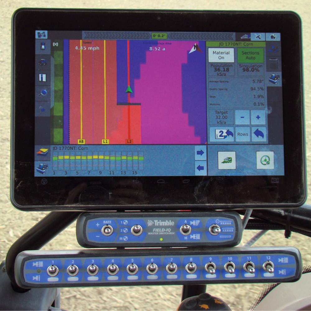
The controller combines position with machine orientation and movement. An inertial measurement unit helps account for roll and pitch, particularly when an antenna mounted high above the ground moves sideways on a slope. The display compares the machine’s path with a guidance line. A hydraulic interface or electric steering motor makes corrections. Passive implement guidance and active implement steering require separate attention when an attached tool drifts.
Five guidance architectures to investigate
These options include receiver/controller units and complete steering packages. Compare each as an installed package with a suitable display and correction service. StarFire fits the Deere precision-ag ecosystem; NAV-900 and AGS-2 need matched displays and steering components. NX612 packages several functions together. SteerCommand Z2 provides steering control alongside a separately specified compatible receiver.
Universal receiver; correction mode selected separately
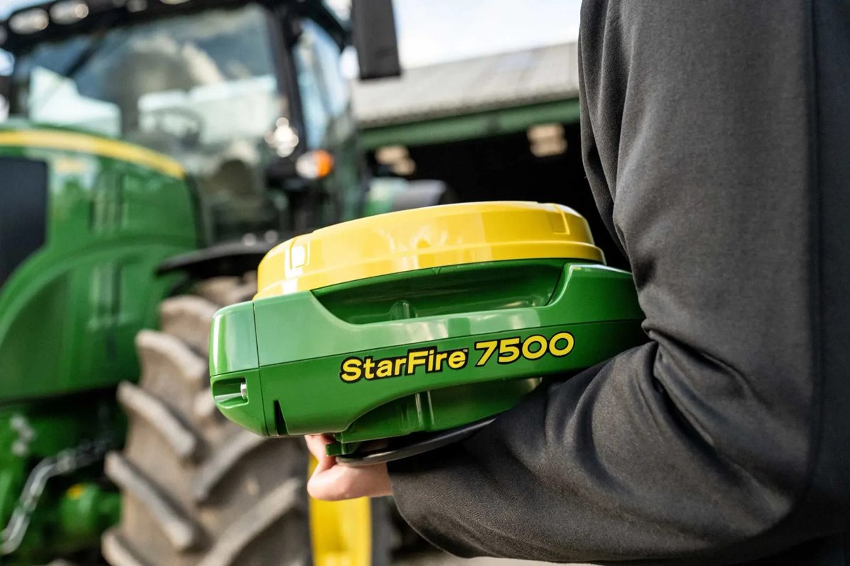
John Deere StarFire 7500
A multi-constellation receiver for a Deere precision-ag installation. Confirm SF1, SF-RTK or RTK configuration and the vehicle/display combination.
Correction mode, activations and compatible steering determine the installed system.
View product details ↗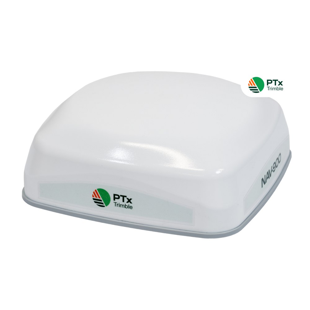
Guidance receiver/controller; matched GFX display
PTx Trimble NAV-900
A roof-mounted guidance controller supporting several correction options. Autoguidance requires a matched GFX display and a suitable steering system.
Budget for display, steering hardware and any correction subscription.
View product details ↗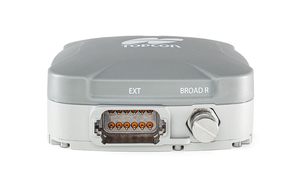
Receiver and steering controller
Topcon AGS-2
A receiver/controller option in Topcon’s agricultural guidance range. Select the correction mode and steering components as part of one package.
Receiver accuracy depends on correction service; install a supported vehicle kit.
View product details ↗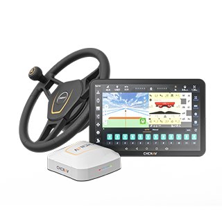
Electric automated steering package
CHCNAV NX612
An integrated steering package with a display, electric drive and GNSS correction options. Its listed ISOBUS functions should be checked against the intended implement.
Confirm PointSky/RTK service, vehicle kit and implement functions in the quote.
View product details ↗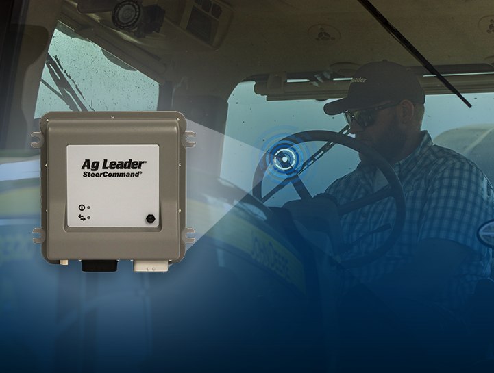
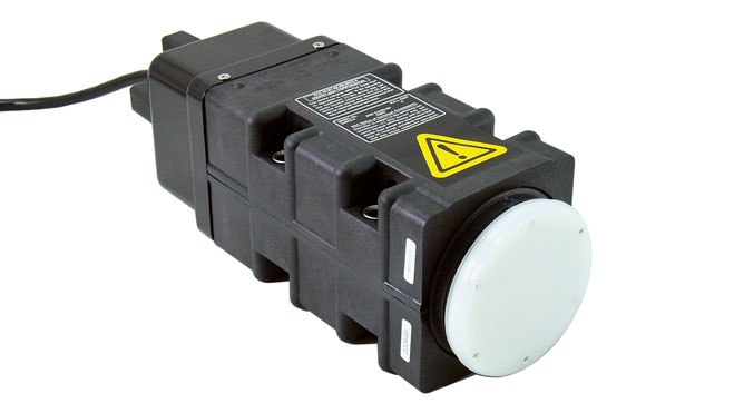
Steering controller paired with GPS 6500/7500
Ag Leader SteerCommand Z2
An integrated steering controller for supported hydraulic or vehicle-CAN installations. Its calibration and diagnostics run through the InCommand display.
A separately specified compatible receiver and vehicle-specific kit are needed.
View product details ↗| Model | Measurement / role | Data connection | Coverage / installation |
|---|---|---|---|
| John Deere StarFire 7500 | GNSS position and terrain compensation | Deere guidance ecosystem; configured correction service | Roof receiver with matched Deere display and steering |
| PTx Trimble NAV-900 | GNSS position and guidance control | GFX display and selected corrections; compatible output connection | Roof mounting; compatible steering equipment required |
| Topcon AGS-2 | GNSS position and steering control | Topcon display and selected correction/communication components | Receiver with compatible Topcon steering/display installation |
| CHCNAV NX612 | GNSS positioning and electric steering | CAN, RS232, Wi-Fi, Bluetooth and 4G listed | 12.1-inch display and steering components; machine kit required |
| Ag Leader SteerCommand Z2 | Hydraulic steering control using a compatible receiver | Ag Leader InCommand display and compatible receiver | Supported tractor CAN or hydraulic-valve installation |
Compare the right accuracy measures
Pass-to-pass accuracy describes agreement between nearby passes over a stated interval. Repeatability concerns returning to a position later. Absolute accuracy describes position relative to a reference system. A receiver’s advertised centimetre figure should retain its correction mode, statistic and test conditions; it is not automatically a guarantee that the implement will stay that close to every crop.
Ask what happens when correction delivery stops. Systems may retain a solution temporarily, reduce accuracy, warn the operator or disengage steering. Confirm the actual receiver, software and subscription combination. Check how long initial convergence takes after power-up and whether repeated interruptions occur beside the same trees or buildings.
Installation and field acceptance
Obtain a machine-specific compatibility list before purchasing. Record tractor model, year, steering arrangement, display software, hydraulic options and required activation codes. Measure the antenna’s fore-aft and lateral offsets, mounting height and implement geometry. Run the prescribed terrain and steering calibration on suitable ground, then verify straight passes in both directions.
Mark an implement pass and return to it after turning, after a correction interruption and on another day. This checks the result needed for the operation. Inspect the implement as well as the tractor: asymmetric draft, worn linkage and side slopes can move the tool even while the antenna follows the guidance line. Retain exported guidance lines and their coordinate reference information when sharing work between machines.
The route from GPS to repeatable field paths
The United States ended GPS Selective Availability in May 2000, removing intentional degradation of public positioning signals. That improved standalone civilian positioning, but precise agricultural operations still require suitable corrections and machine control. Current systems bring multiple constellations, inertial sensing and field records together with steering. Guidance, section control and autonomous operation remain different functions.
Terms used in a guidance quote
- RTK
- Real-time kinematic positioning using carrier-phase observations and reference corrections.
- Convergence
- The time needed for a positioning service to reach its specified performance after starting or losing its solution.
- Terrain compensation
- Accounting for machine attitude and antenna position relative to the ground.
- NMEA output
- Position or movement messages whose format, rate and connection must match the receiving equipment.
Can an existing receiver run a different display?
Sometimes it can supply position messages, but that does not establish support for autosteering, activations or implement control. Ask for a written compatibility check covering receiver output, steering controller, vehicle harness and display software. A serial position connection alone does not make two complete guidance systems interchangeable.
Sources & further reading
- StarFire™ 7500 Universal-Empfänger Technologie für Präzisionslandwirtschaft | John Deere DE
- NAV-900 Guidance Controller | Products | PTx Trimble
- GNSS receivers and controllers for precision agriculture
- NX612: Advanced Automated Steering System | CHCNAV
- SteerCommand Z2 - Ag Leader
- Selective Availability | GPS.gov